Waterfalls & long weekends
Over the August long weekend, we decided to head a little farther away from town. We researched and planned a 3 day trip along the NWT Parks waterfalls route that runs along Highway 1. On Friday night, we headed out on the 5 hour drive to Twin Falls Gorge Territorial Park, just south of Enterprise.
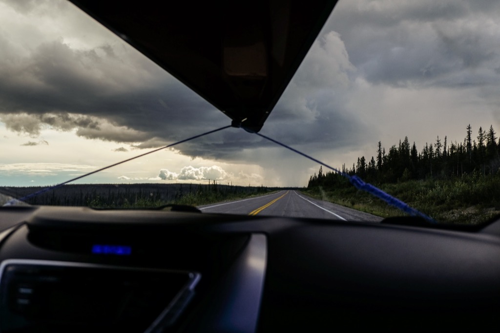
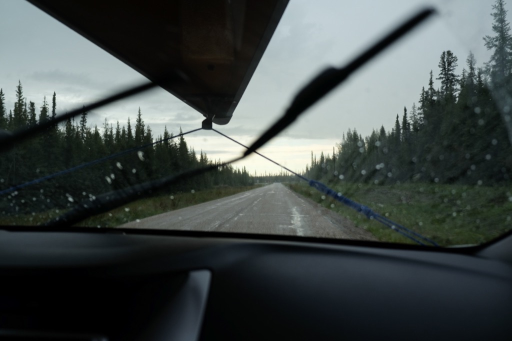
The weather was a mix of sun and rain on the drive out after work.
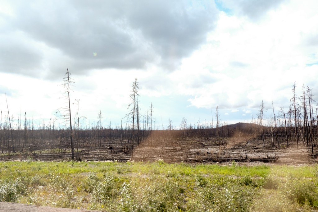
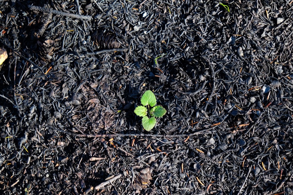
Recent burn.

Less recent, but still recent burn.
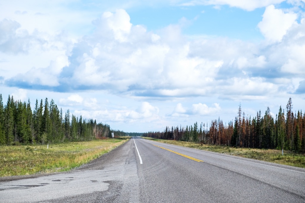
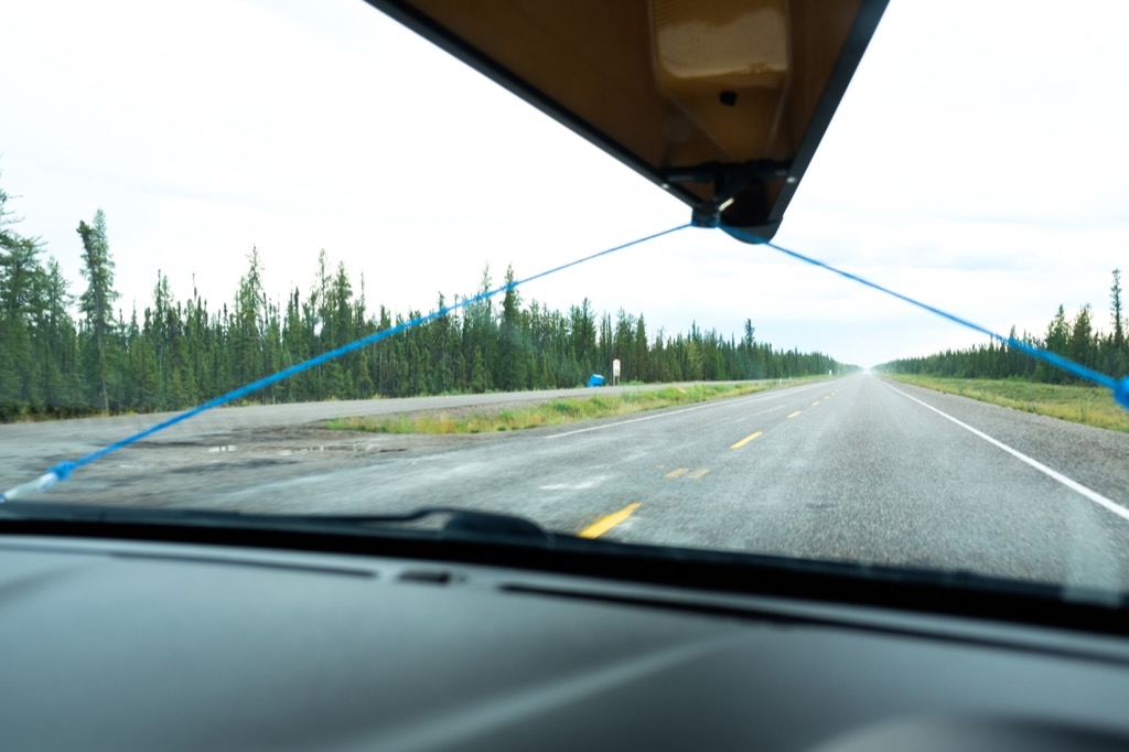
Long weekend traffic in the territory....jealous?
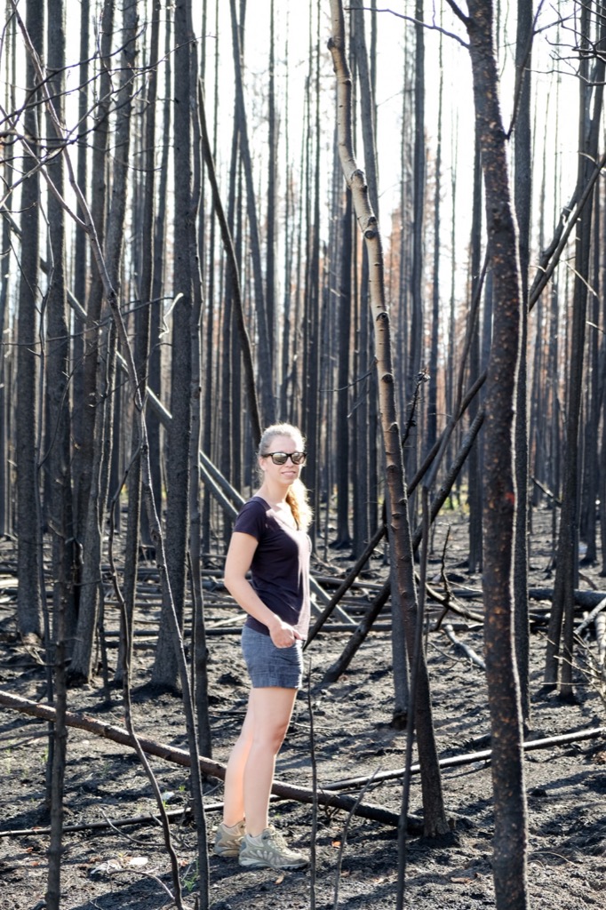
Walking in a burn site.
This is the rest stop where our Uhaul finally gave up (or we gave up).
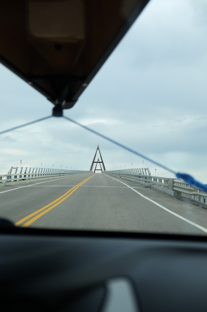
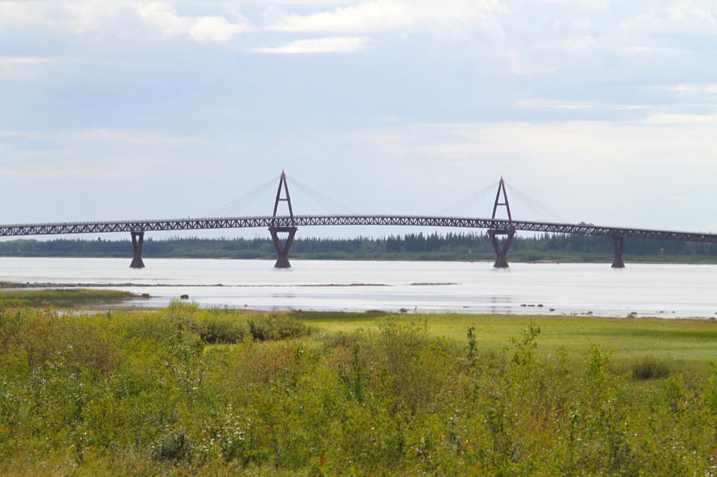
Crossing the Deh Cho Bridge.
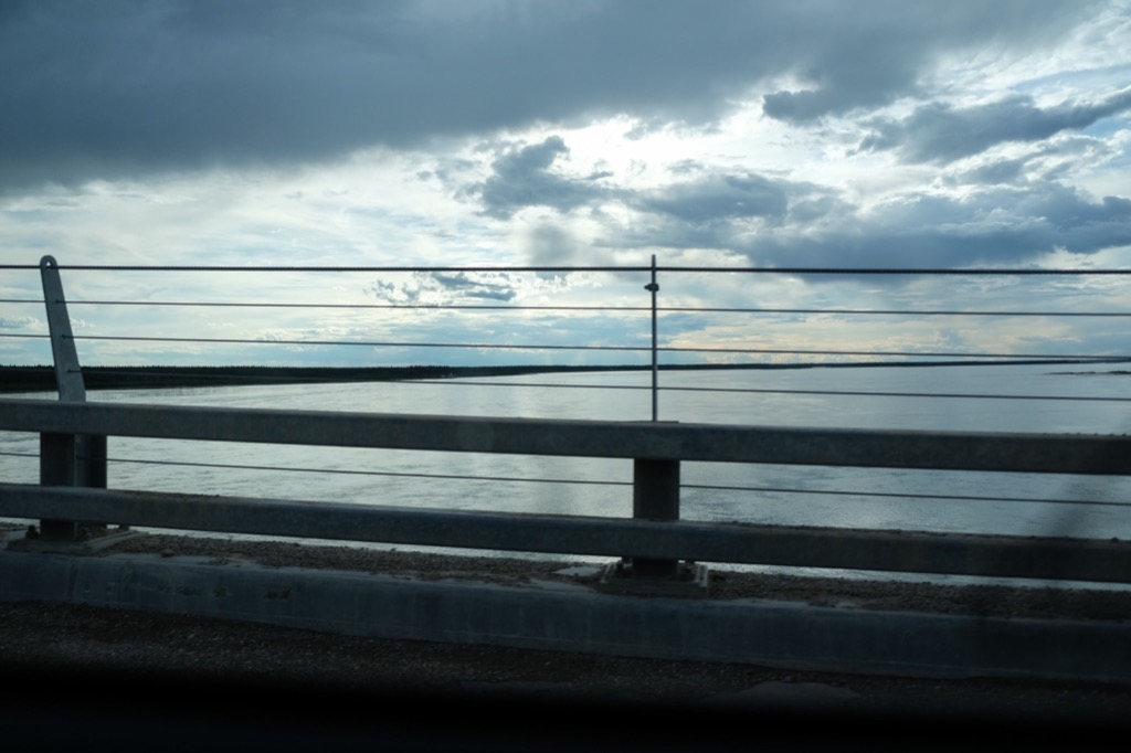
The Mighty Mackenzie River.
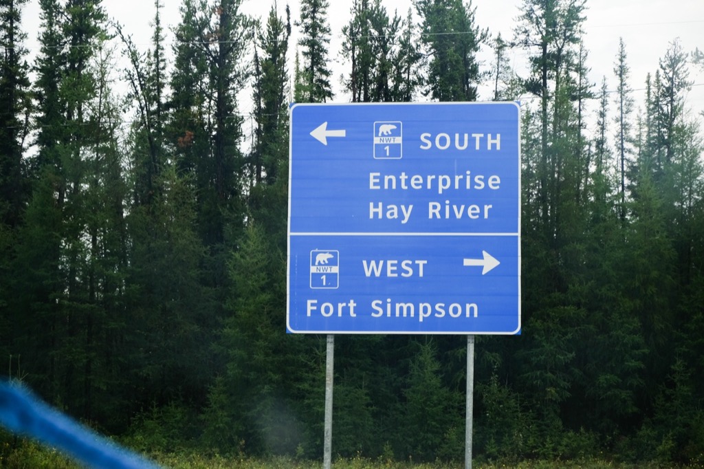
Decisions...We'll go left first, and right two days from now.
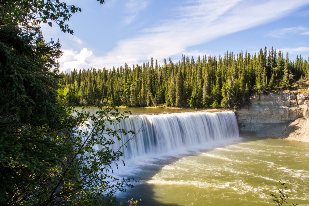
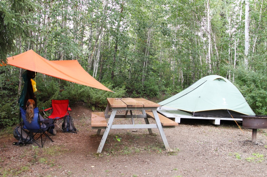
We setup camp at the Louise Falls Campground and were greeted by a very friendly couple who are in the first year of their 3-year contract running the park. We had some time to check out Louise Falls that night before bed, as the sun was beginning to set. It was so close to our campsite that we could hear the falls all night!
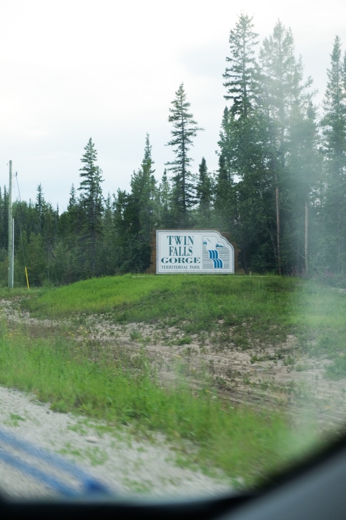
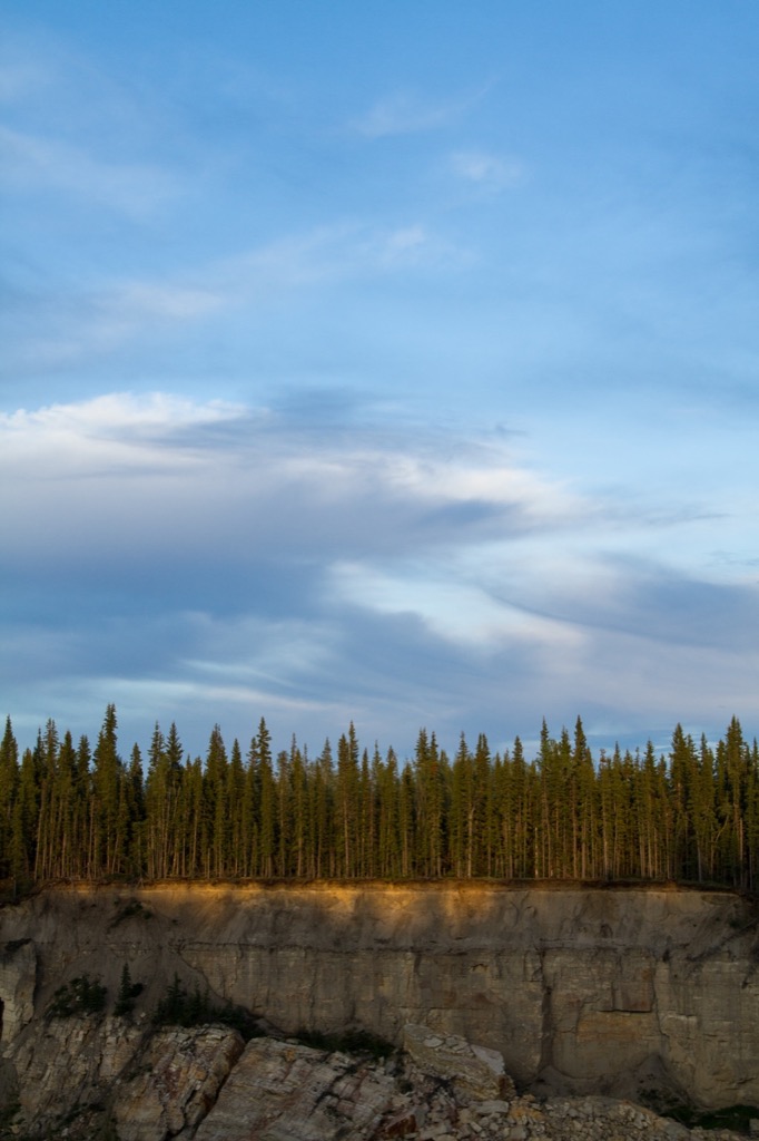
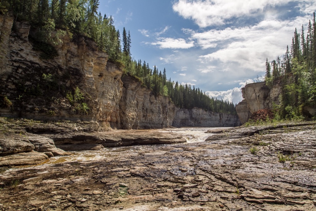
Twin Falls Gorge Territorial Park.
Louise Falls
Great little lookout over the falls and gorge.
Louise Falls
Sunset at Louise Falls.
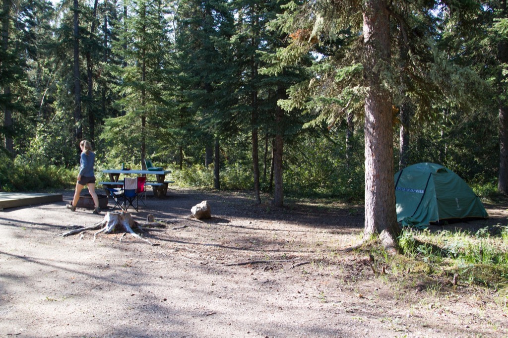
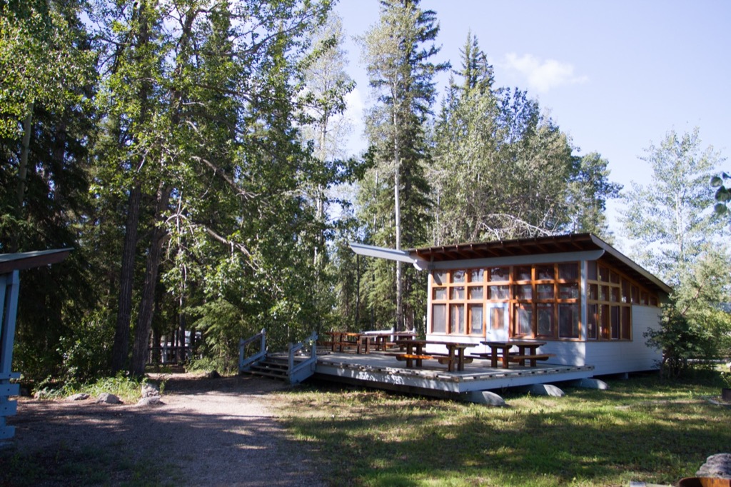
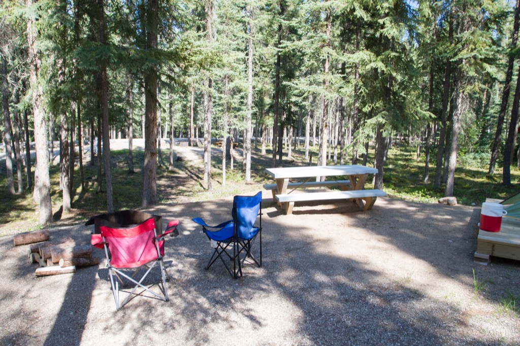
Our site at Twin Falls Gorge Territorial Park.
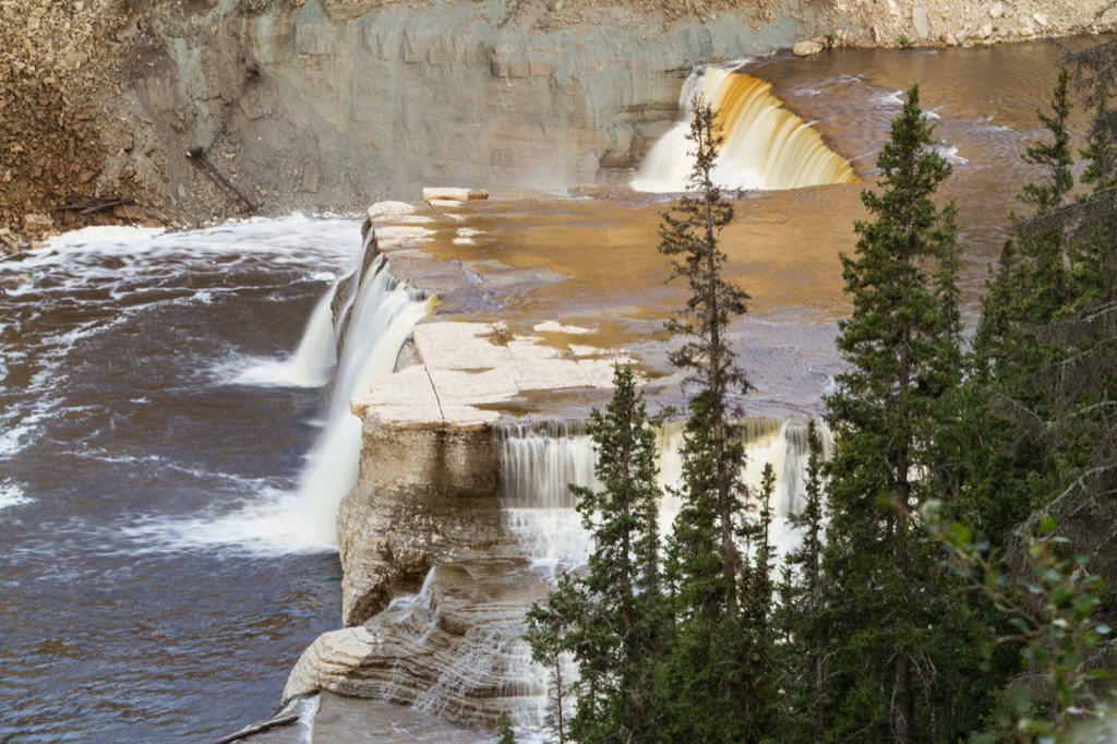
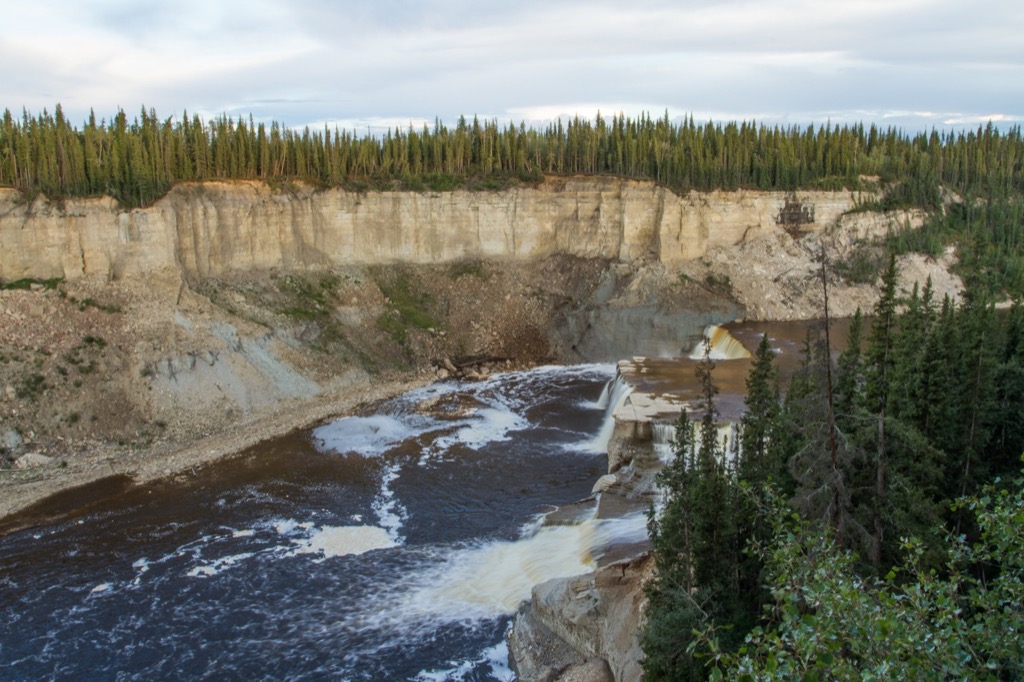
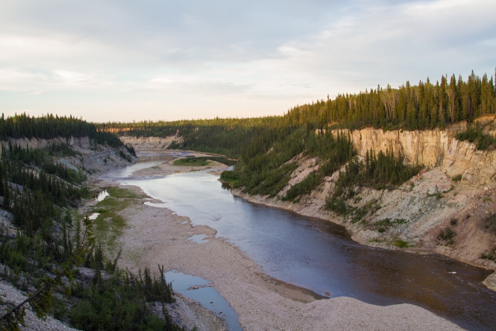
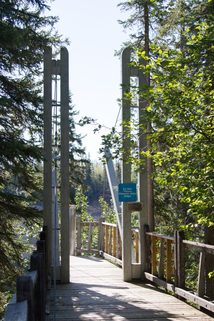
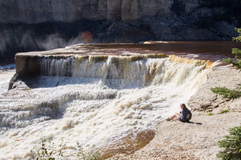
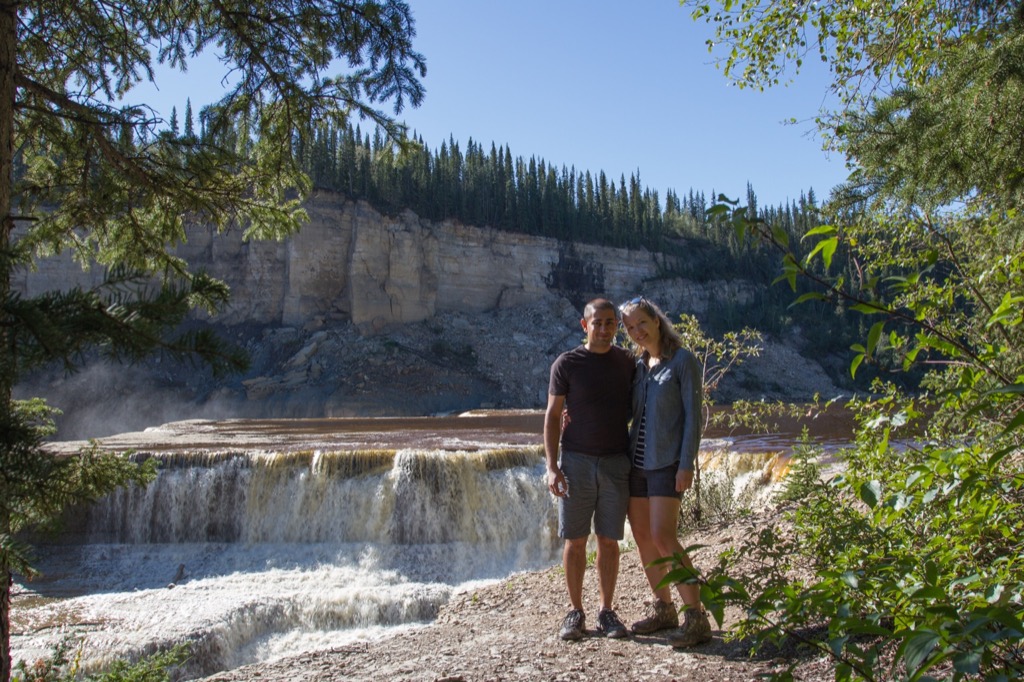
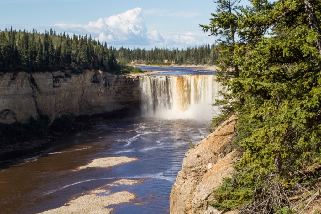
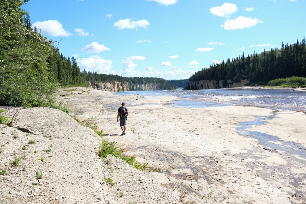
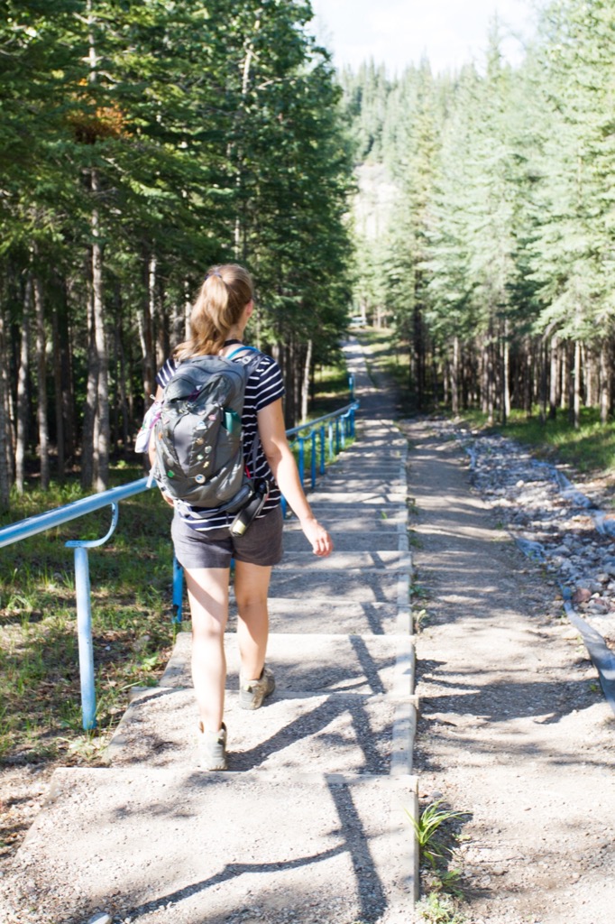
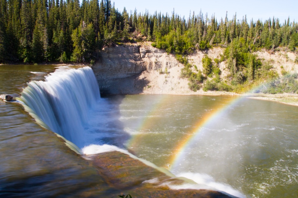
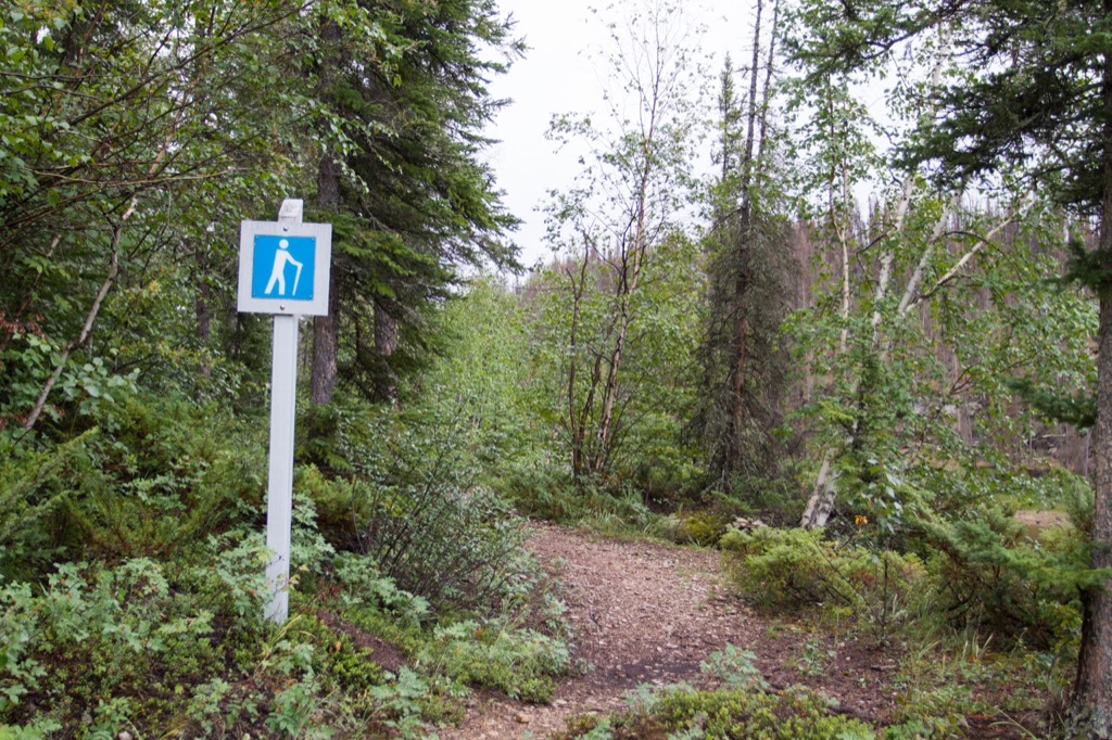
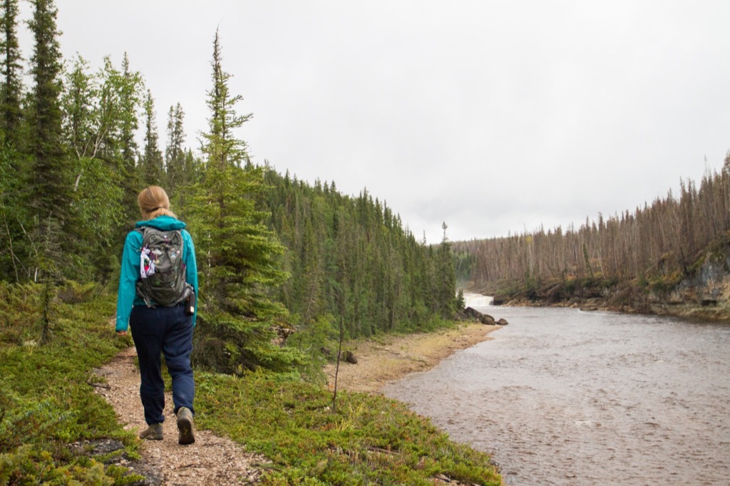
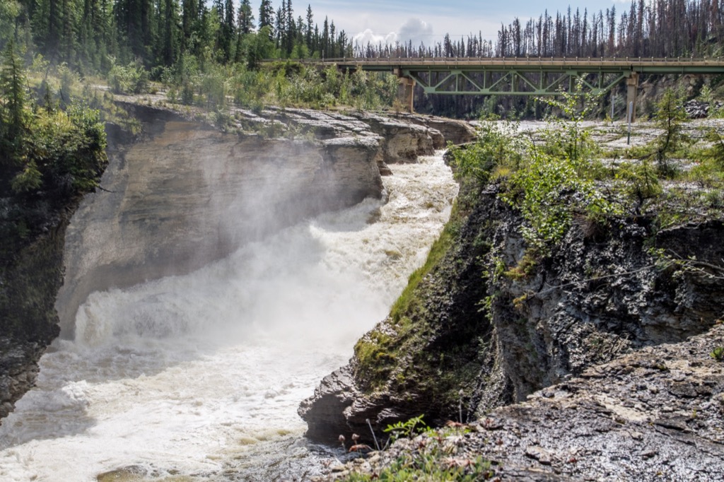
The next morning we headed out for a ~2km hike down a cultural interpretive trail to Alexandra Falls. Both of these waterfalls were quite impressive, as was the gorge you hiked alongside on the trail. There are staircases at each of the falls which lead you right down next to them. We found a couple of geocaches along the way, as well. It was a gorgeous day and we were very impressed with this park, the people, and the things to do.
This park was very undersold online. There were no hiking trail maps available and another trail that leads from the campground to the group camping area is not well-maintained. We also pulled off just down the road from here and jumped out to see another smaller waterfall. There is still so much potential at this park. The campground sites are quite open and lack privacy, but are fairly standard.
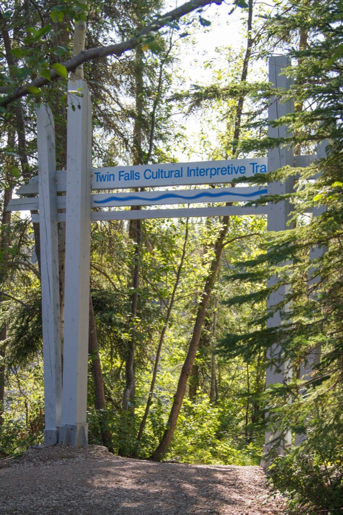
The interpretive trail.
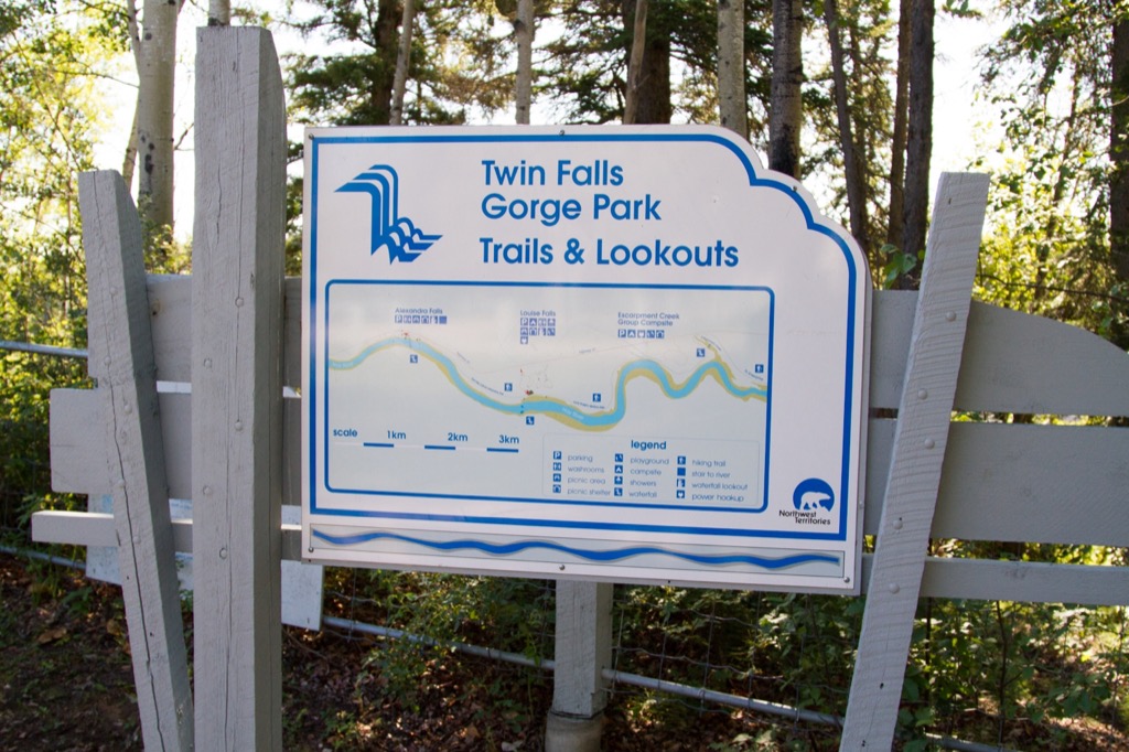
A map! Something that is lacking on the NWT Parks website is at least present once you get to the park.
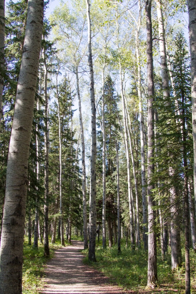
The trails wanders through the forest and is an easy walk.
Hmmm, what do we have here...
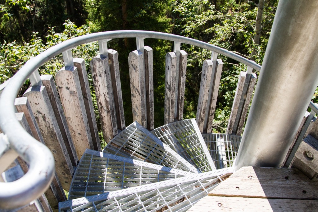
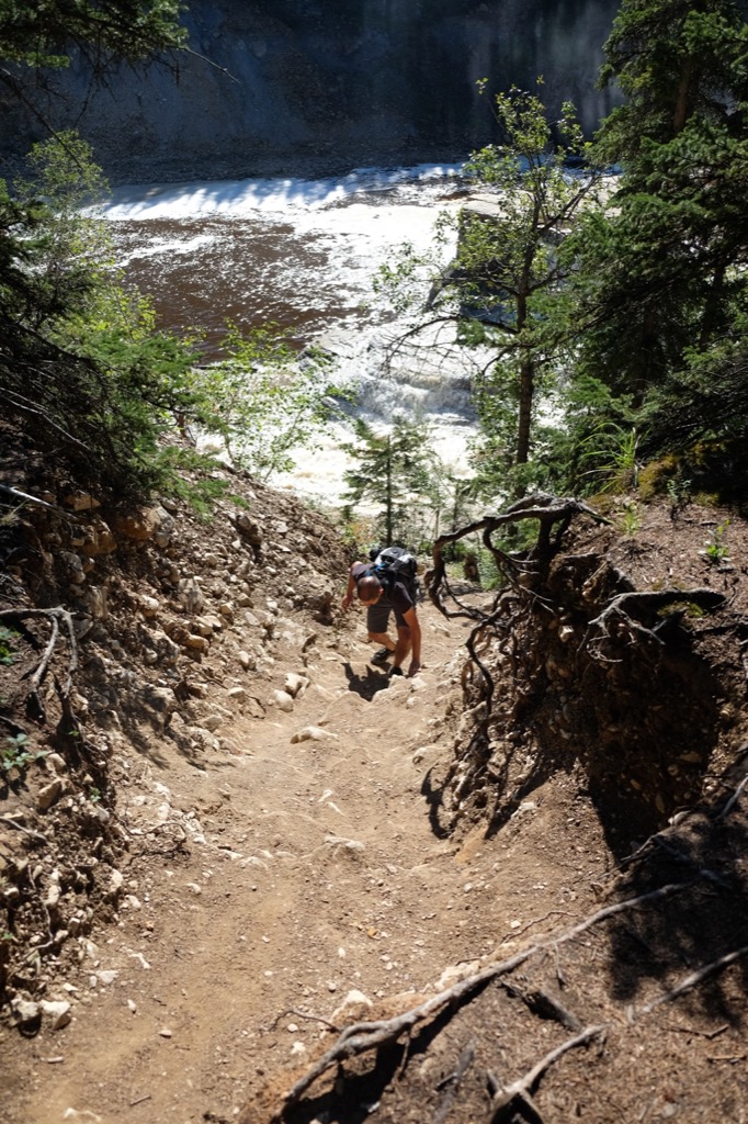
Stairs heading down into the gorge.
Down we go...
Spirals.
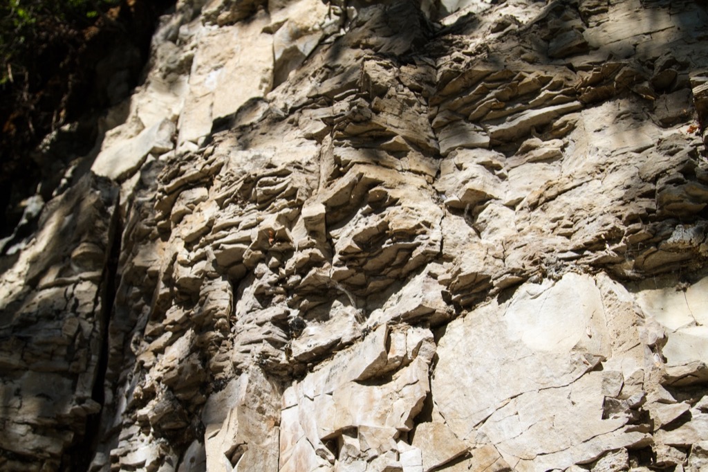
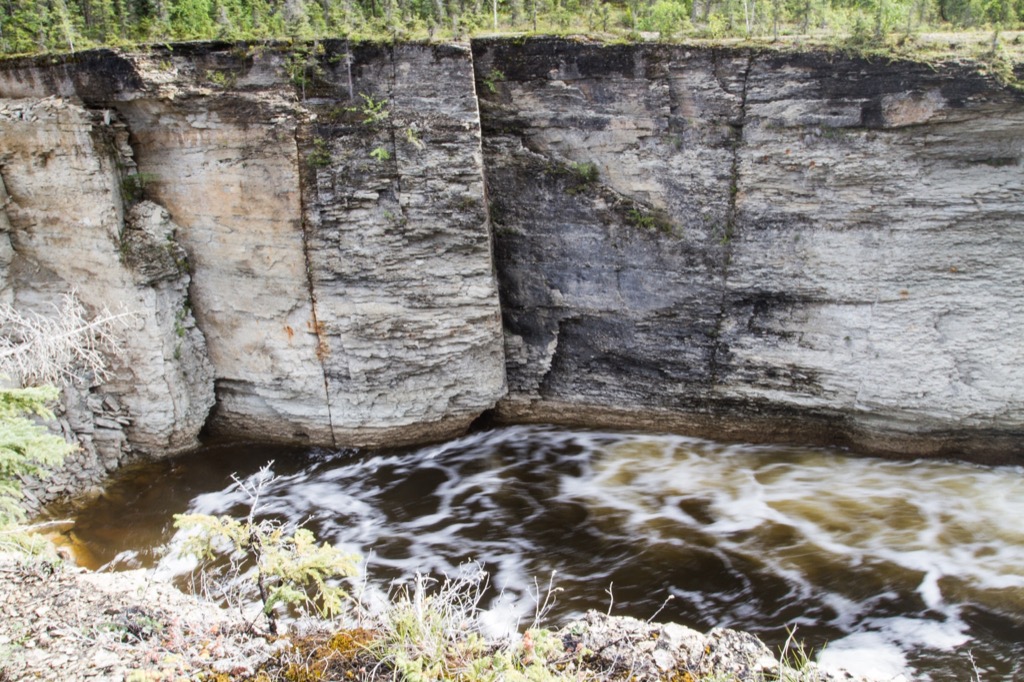
The limestone cliffs are reminiscent of the Niagara Escarpment.
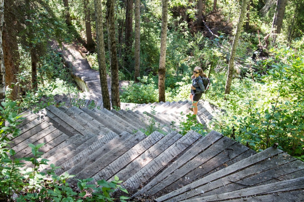
Oh, look, more stairs.
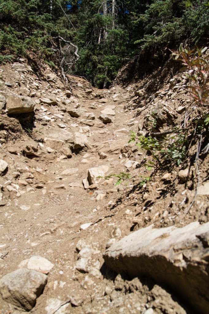
Where the stairs end, the steep rocky slope begins.
It is well worth the climb into the gorge.
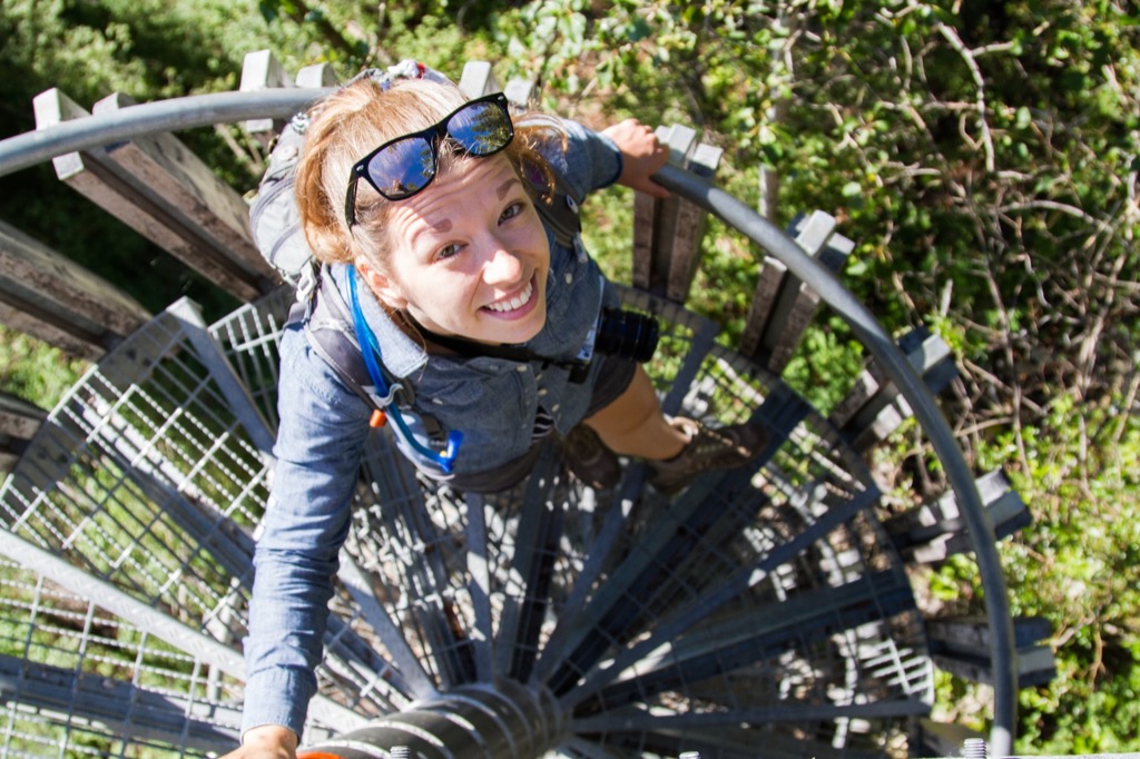
Waterfall selfie.
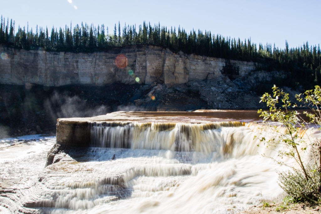
Louise Falls seems almost man-made.
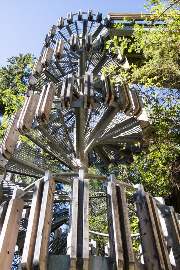
Time to climb up and out of the gorge...
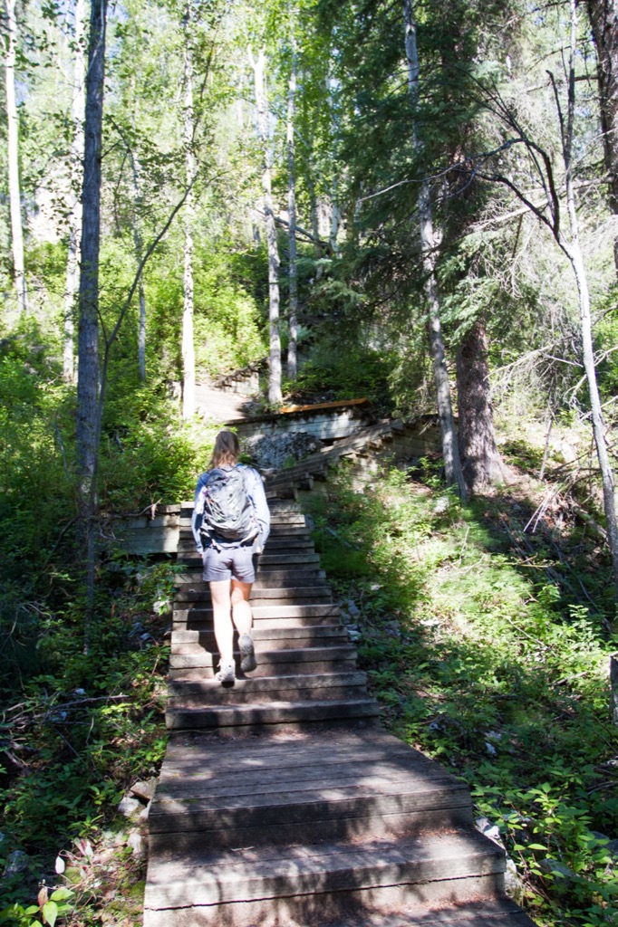
Back up we go...
...and up.
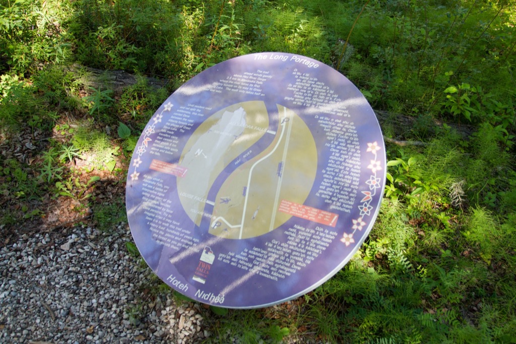
Interpretive signage along the trail describing the traditional portage route.
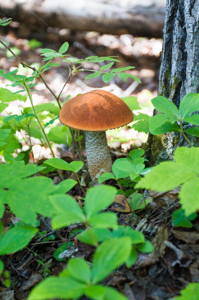
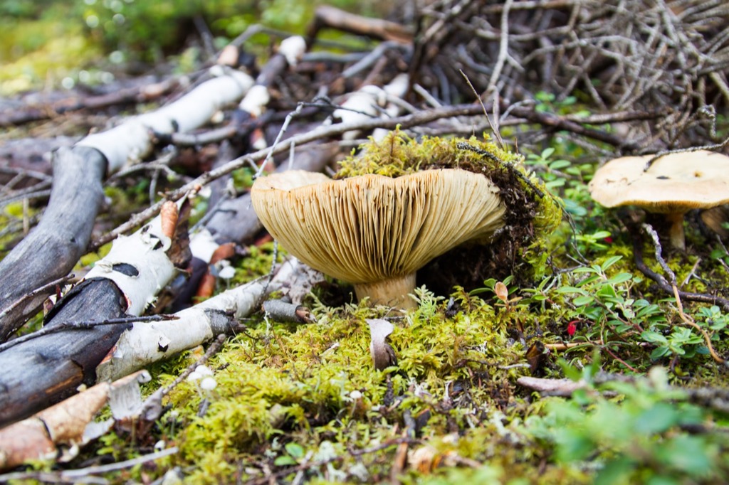
One of many nice mushrooms in the area.
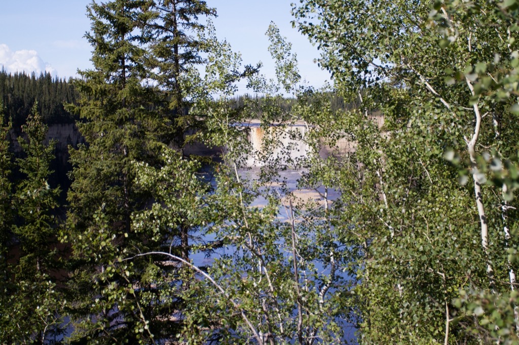
Further down the trail, something was emerging from behind the trees.
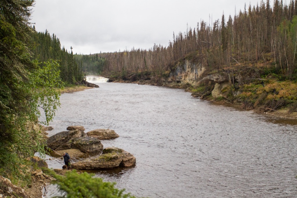
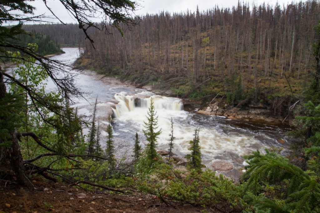
A far view of Alexandra Falls.
The Alexandra Falls Day Use Area has a little cabin and picnic tables.
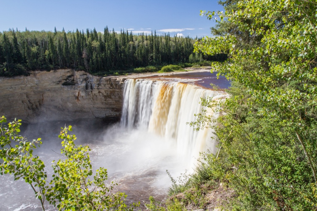
Alexandra Falls from the lookout.
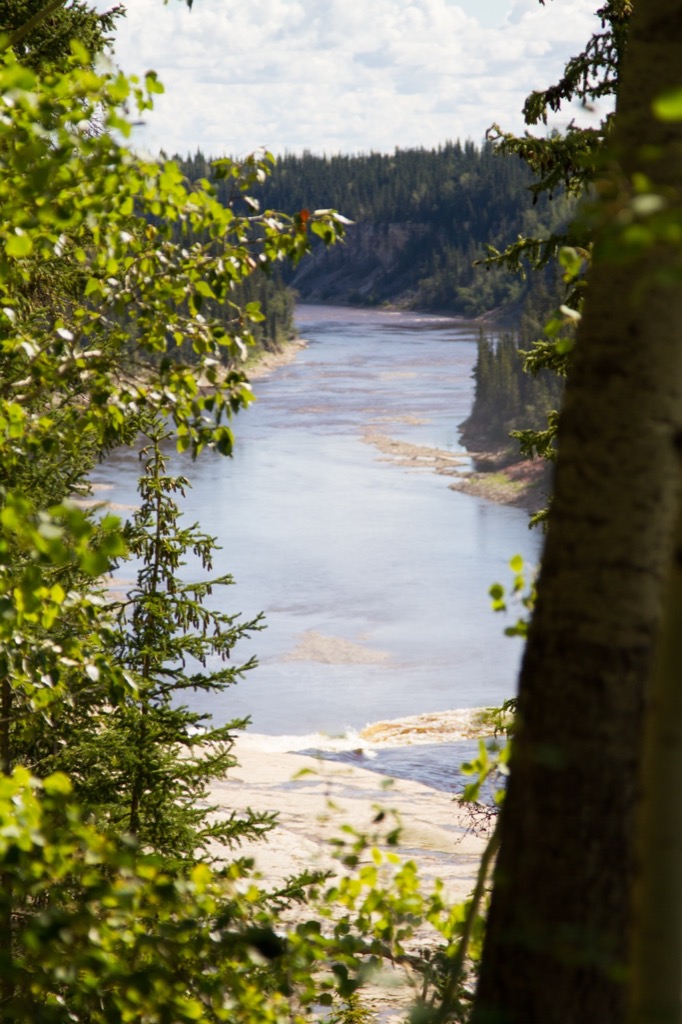
Looking down the gorge past Alexandra Falls.
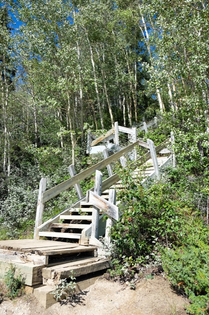
Stairs everywhere.
Walking up to the falls from the top.
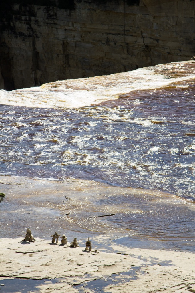
Some inukshuks living life on the edge.

We built some of our own.
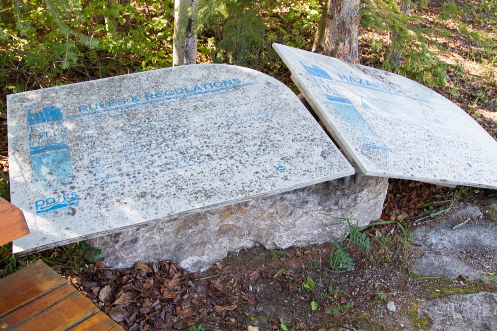
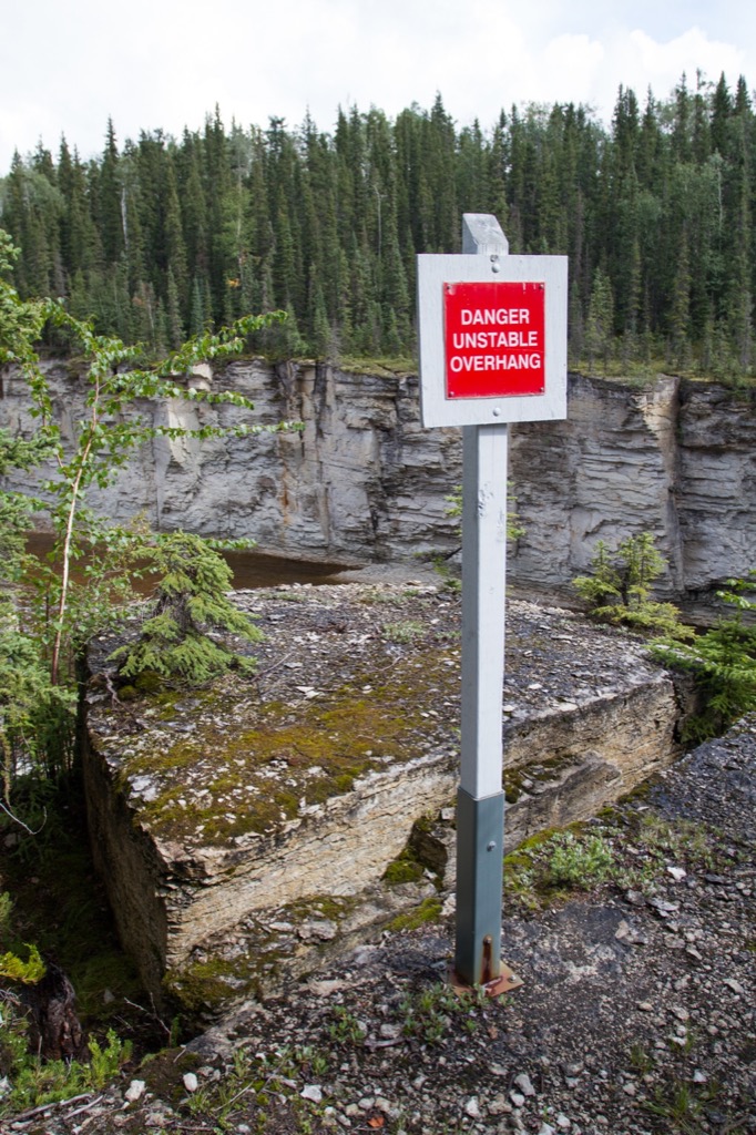
NWT Parks signage. Despite the amazing features in the parks, there is some serious work that needs to be done.
The trail heads along the highway where the bank has been too undercut.
We did some geocaching along the trail and found this cache. It's a bit creepy.
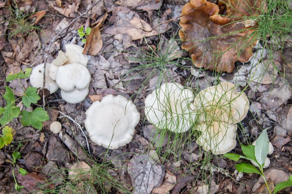
More mushrooms!
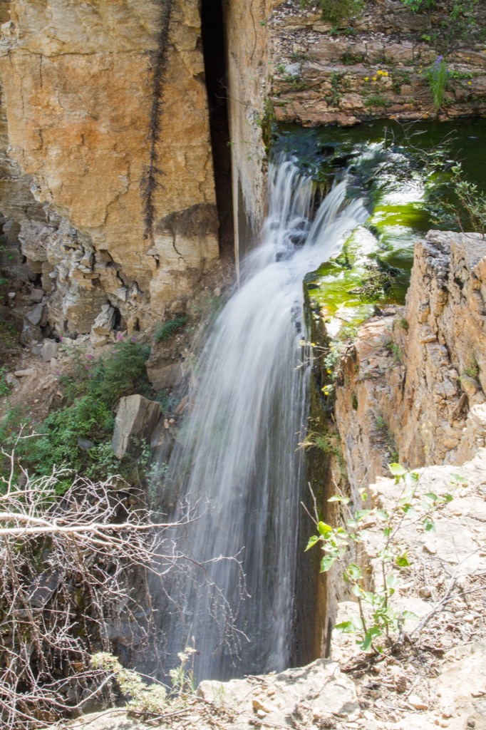
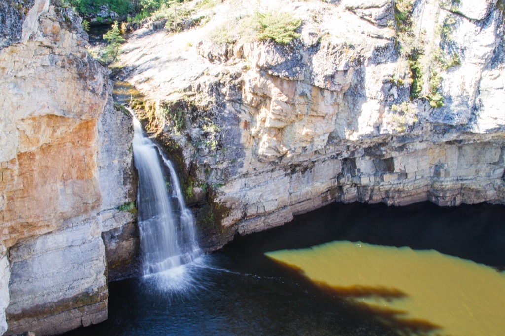
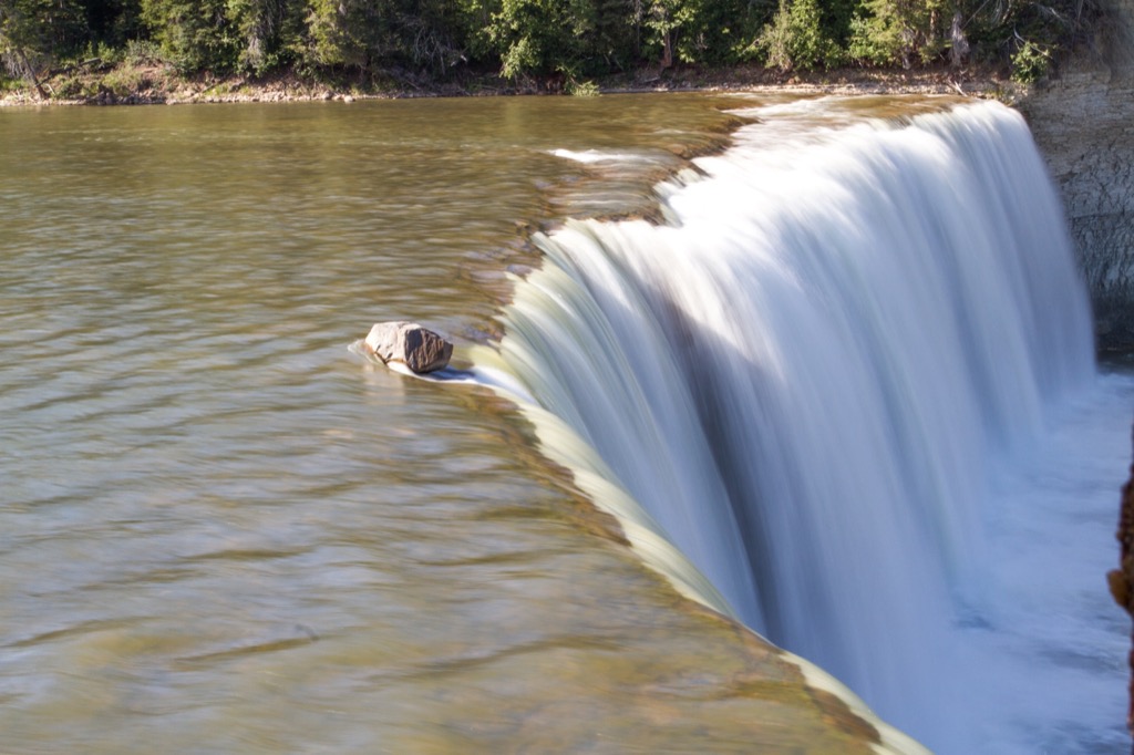
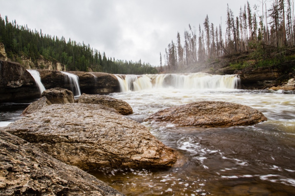
Escarpment Creek waterfall. Not as grand as the the other two waterfalls at Twin Falls Gorge, but still a nice one.
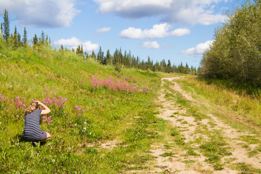
Taking pictures of the fireweed on the side of the highway.
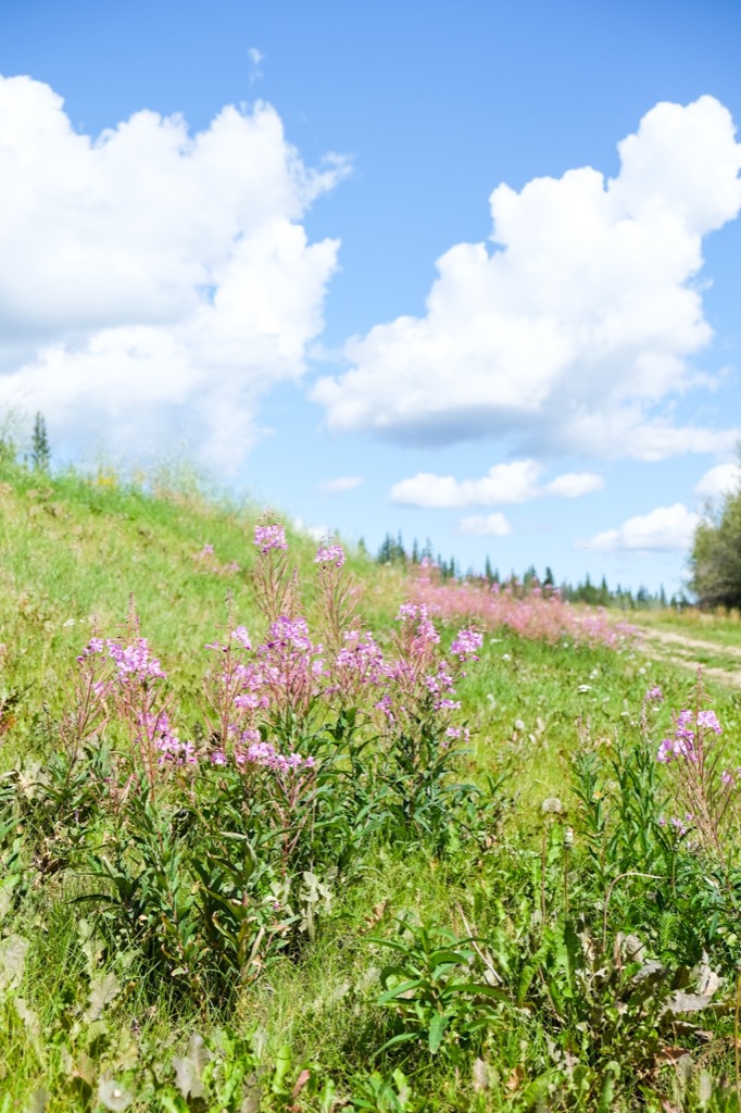
Fireweed and blue skies.
We stopped for a picnic lunch at McNallie Creek Territorial Park, and another waterfall viewing - just a kilometre or so from where we were
broken down

McNallie Creek Territorial Park. We got stuck just down the road from here in our great Uhaul adventure.
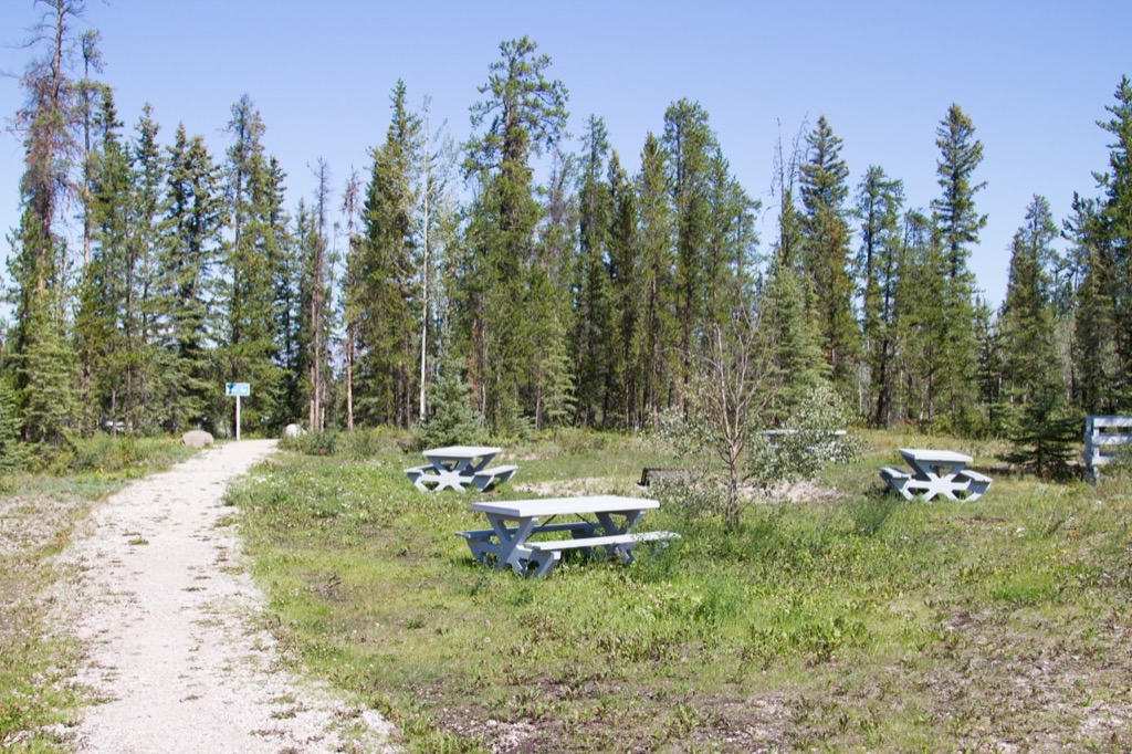
The grass could use a trim, but not a bad spot for lunch.
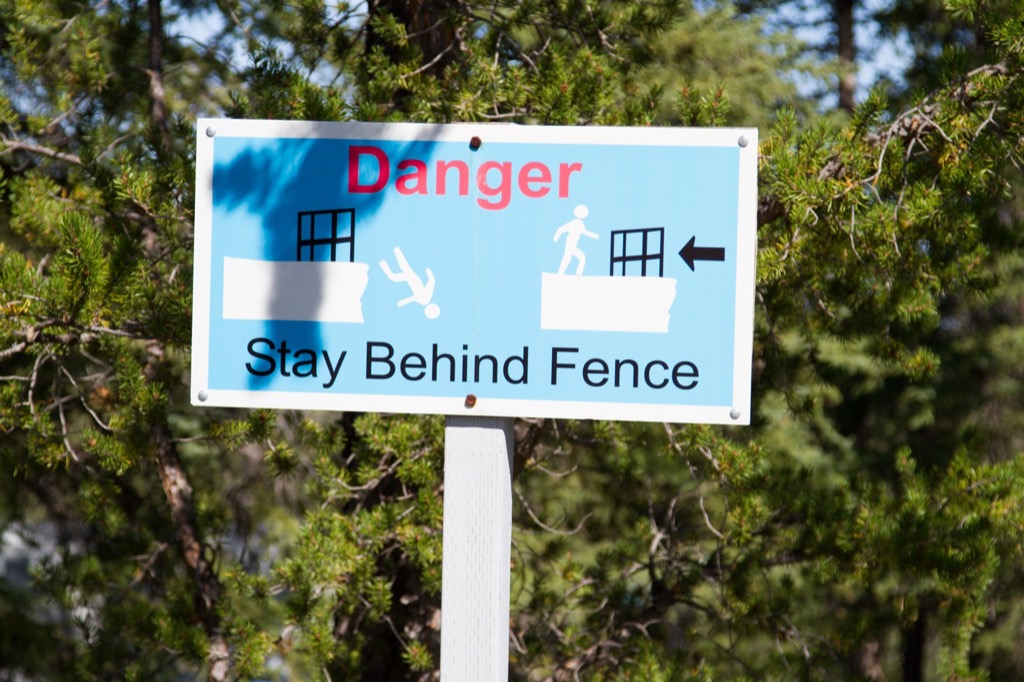
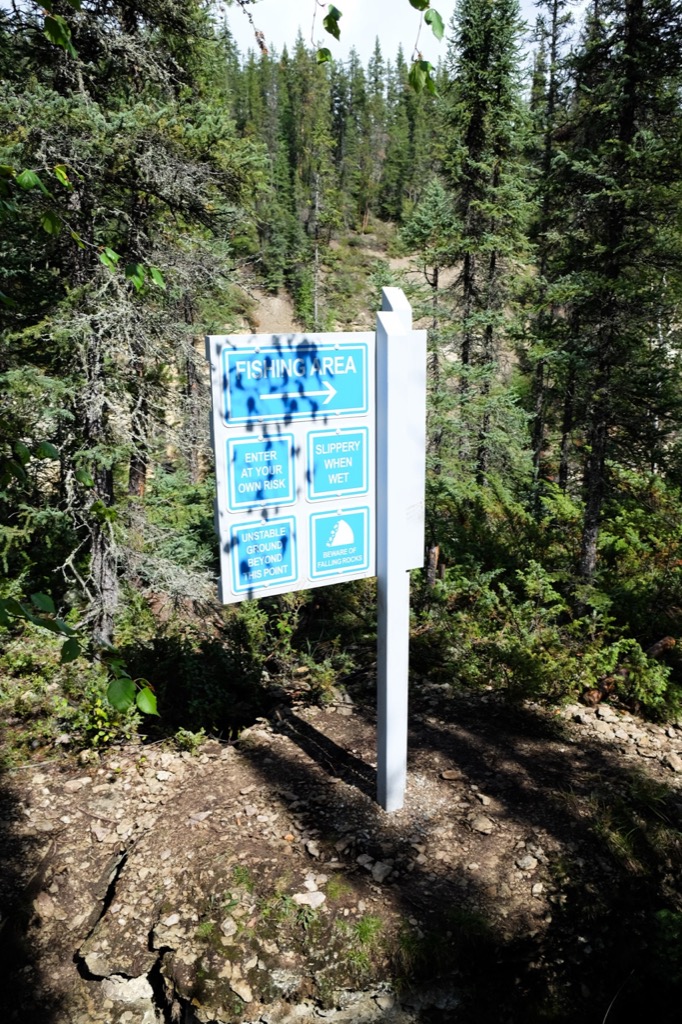
Safety first.
The falls at McNallie Creek.
We ended our Saturday at Lady Evelyn Falls Territorial Park, near Kakisa (~1.5 hours from Twin Falls Gorge). Our campsite here was very open, but we again could hear the falls from our tent! This park was not very busy for a long weekend. Lady Evelyn Falls is a lovely waterfall and there was a short trail leading back to the campground from the falls. There appeared to be another trail that was closed, but we weren’t sure where it led… There were no trail maps and the campground hosts were not very informative. There are 2 loops to this campground - we camped in loop A and would recommend a spot here, but again be weary that this is very open (the forest between sites has been “fire smarted”, so there is no understory) and there is little privacy. Loop B is worse. We were very disappointed with the sites in this loop. They might be better suited to trailers, but were still not very upkept.
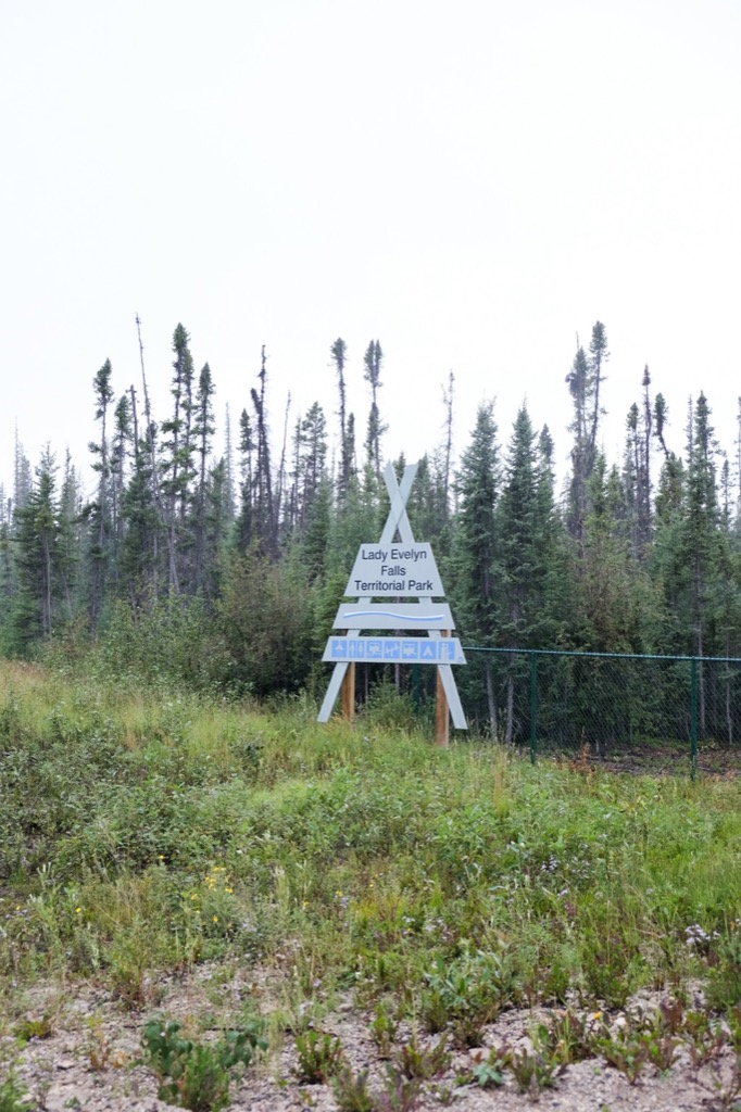
Lady Evelyn Falls Territorial Park.
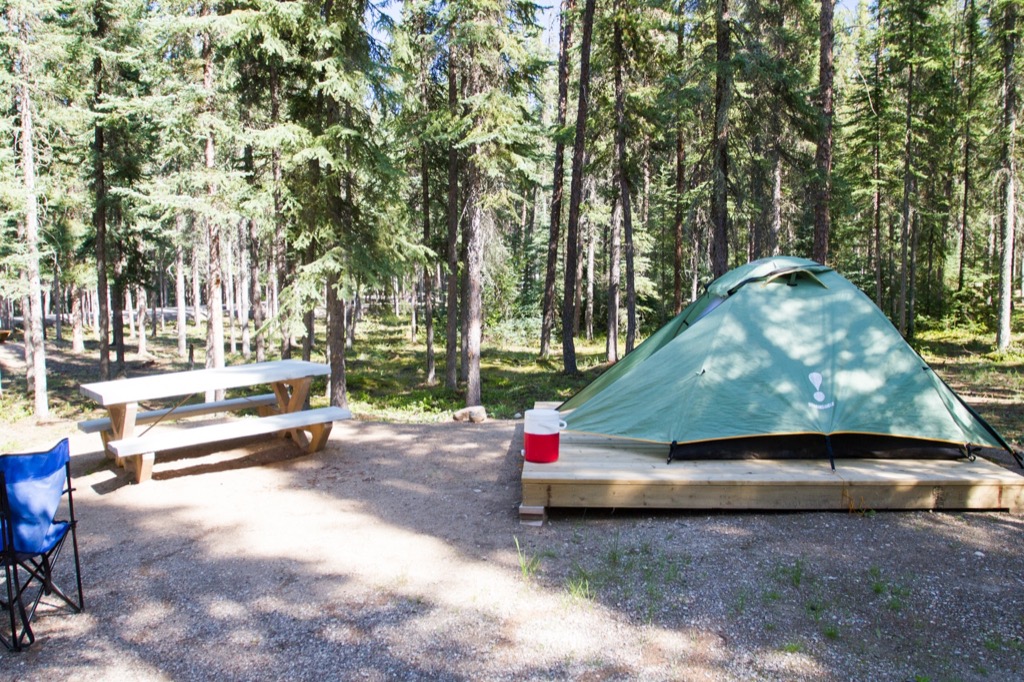
Our site at Lady Evelyn Territorial Park.
Stairs down to Lady Evelyn Falls.
Lady Evelyn Falls were a bigger than we thought they would be.
Precarious rock.
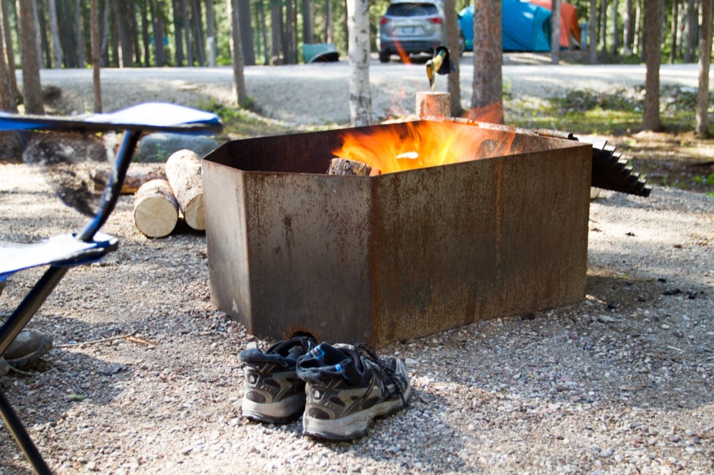
The absurdly high fire pits. It would seem like this would help contain fires, but based on what we saw, people just built their fires bigger.
We left the park on Sunday morning under drizzly skies - we managed to take down our tent just before the rain started (phew!). We decided to drive into Kakisa to see the town - it was tiny (population: ~40).
Rain on the Kakisa Access Road...but clear skies in the distance.
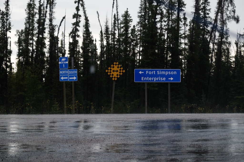
Toward Fort Simpson this time.
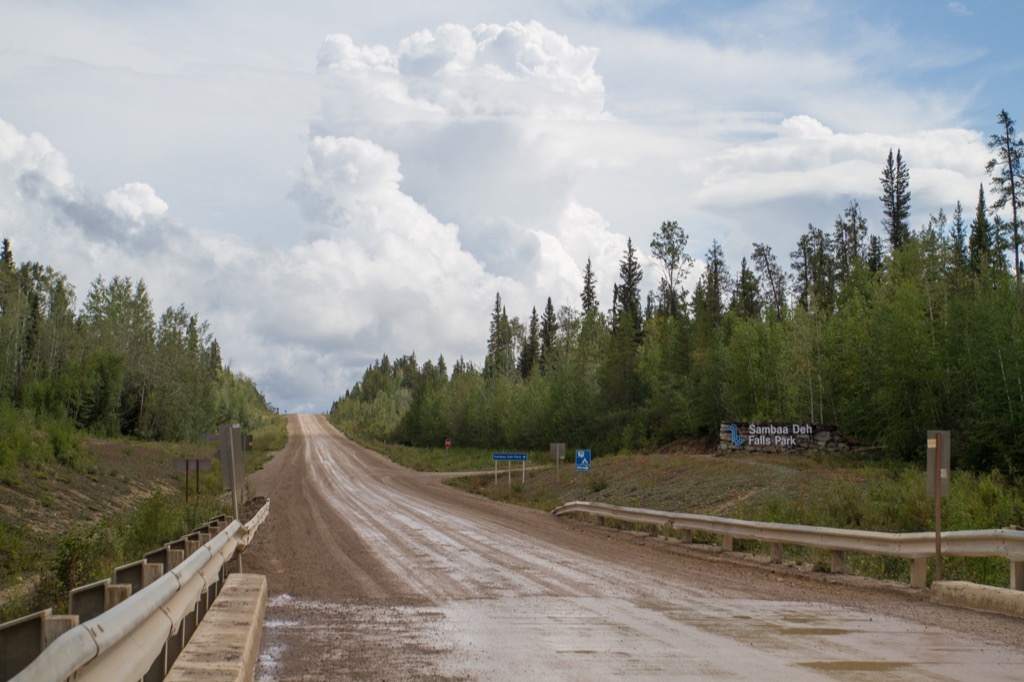
We then headed down the highway, past highway 3, into new territory for us (total driving time was about 2 hours). This section of the drive has nothing along it (1 abandoned(?) house). The road switches back and forth between pavement and gravel for awhile before turning completely into gravel for about an hour before you reach Sambaa Deh Falls Territorial Park (in the middle of nowhere - the closest town is Fort Simpson, about 1.5 hours down the road). We were impressed with this park from the get-go! Even the sign was the nicest we had seen. The couple running the campground were also very friendly, and after an oral tour of the park and its offerings, and a hand-drawn not-to-scale map, we were headed to our site to setup in a very light rain. We had to setup our tarp this time, as the skies did not look like the rain was going to let up. We went for a short hike (~1.5km) on a marked trail (!) to Coral Falls. We were able to walk down on the shore next to the falls, as well as hike to a higher view of the falls. The shores beneath the falls here are full of fossils! We had heard this but were surprised by the number and how easy they were to spot. We really felt this trail could have used some interpretive signs though…
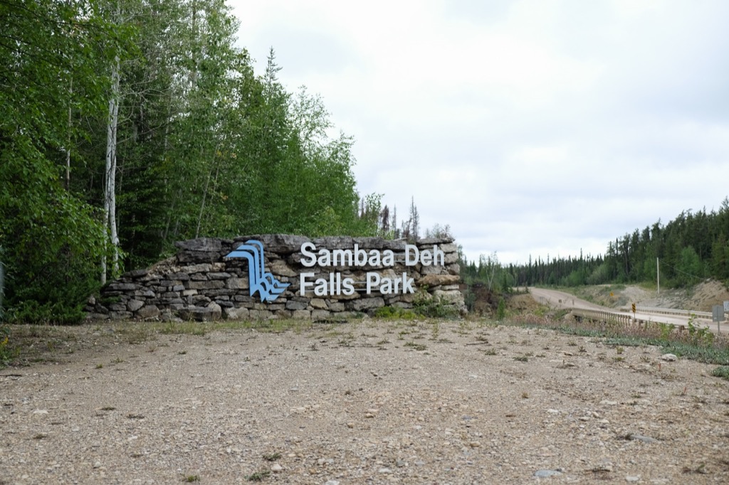
Samaa Deh Falls Park.
Camouflaged bear.
The rain began and thankfully we had set up our tarp.
The Coral Falls trailhead.
Coral Falls in the distance.
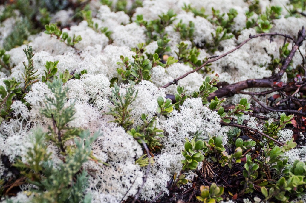
Lichen.
The trail to Coral Falls gets close to the edge at points.
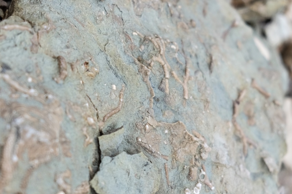
Fossils of corals.
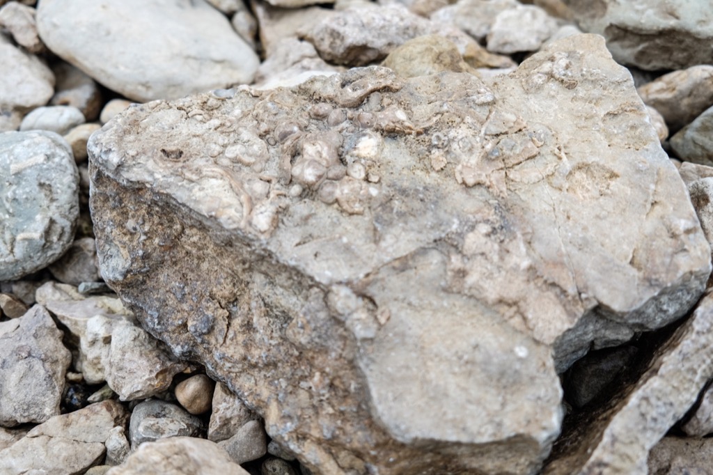
More fossils.
Down in the gorge.
After descending into gorge and working our way around boulders, we reached the base of Coral Falls.
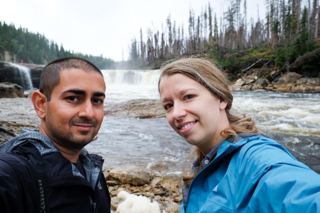
Waterfall selfie.
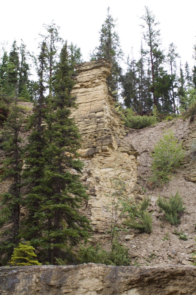
Limestone stack.
We climbed up and out of the gorge and continued down the trail and got a nice view from above.
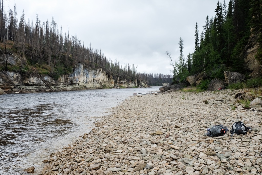
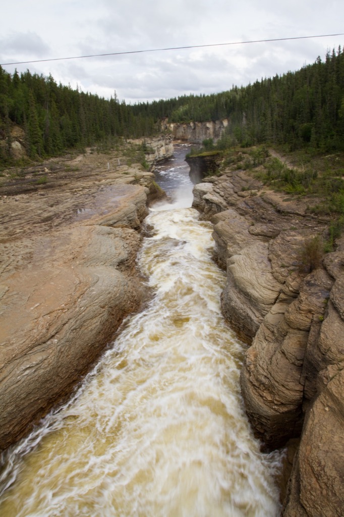
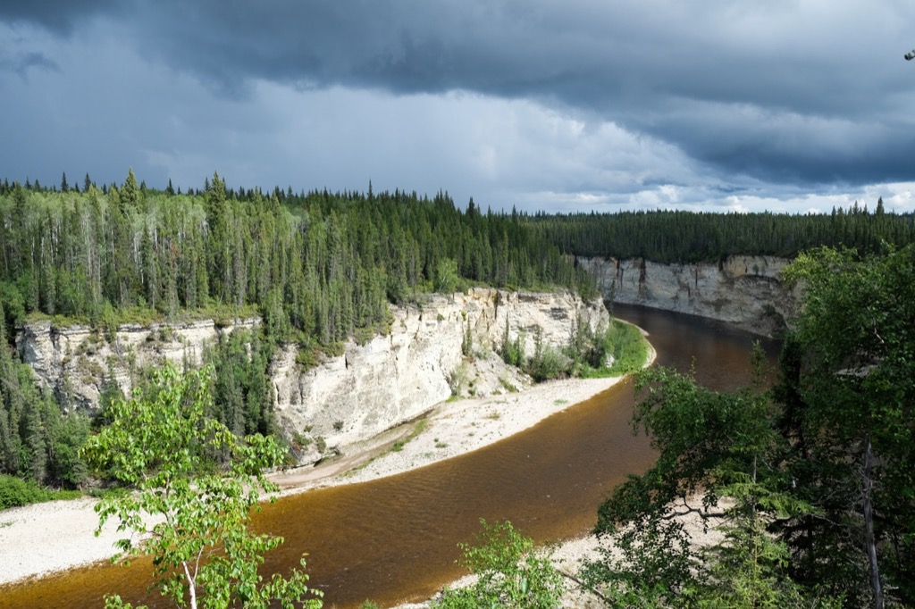
We got caught in the rain on our first hike, ended up walking through the campground and had lunch under our tarp. After lunch, the rain let up. We decided to head out on the second hike (~2-3km) down the river past Sambaa Deh Falls. These falls are right off the highway, but there is also a trail that runs alongside the gorge that takes you to a viewing platform of the gorge. We used our handy-dandy hand-drawn map to lead the way. There is even a spot where you repel down a crevice in the rock to a fishing hole/swimming hole down river. It was such a lovely spot to sit and enjoy the SUN! It really gives you a sense of how big this gorge is.
The highway and park entrance.
Looking down the chute upstream of Sambaa Deh Falls.
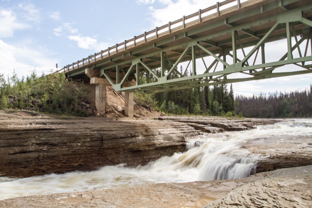
There are some smaller rapids under the bridge.
The gorge becomes very deep, very fast.
This waterfall is not as vertical as the rest, but the immense amount of water coming down the chute is impressive.
More safety signs...in case it wasn't obvious.
We descended into the gorge down a small crack in the rocks and found the fishing and swimming area.
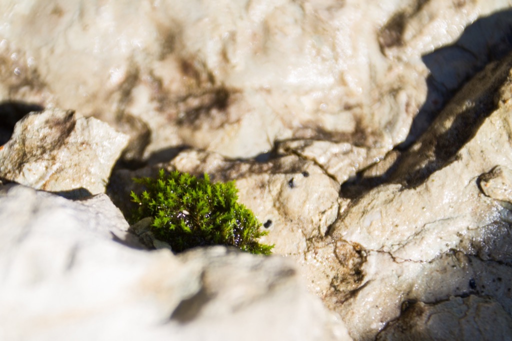
Plants taking root in the rocks.
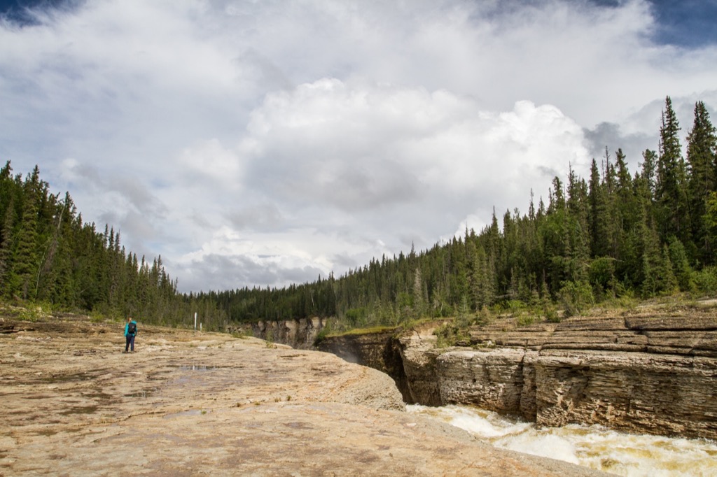
We hiked to the end of the trail, to the viewing platform, and were enjoying the amazing views when we noticed the storm cloud rolling in. We grabbed some quick photos and started the hike back. We got caught in the rain, a downpour, and thunder and lightning, before arriving back at our site to a light drizzle. The rain just kept on for a few more hours, but we were convinced it would stop so that we could cook supper on the fire. Mother Nature heard us and we were able to have a fire and enjoy not sitting under our tarp all evening.
More mushrooms.
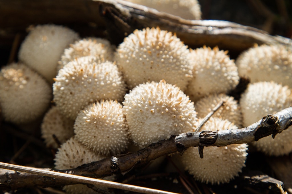
Moreshrooms.
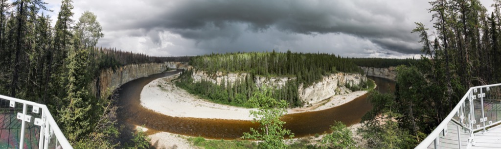
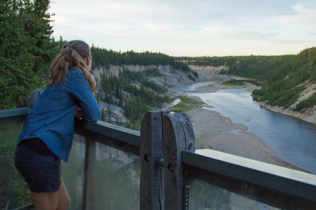
Further down the trail, there is a two-storey lookout on the top of the gorge with a spectacular view of the meander.
Looking up river.
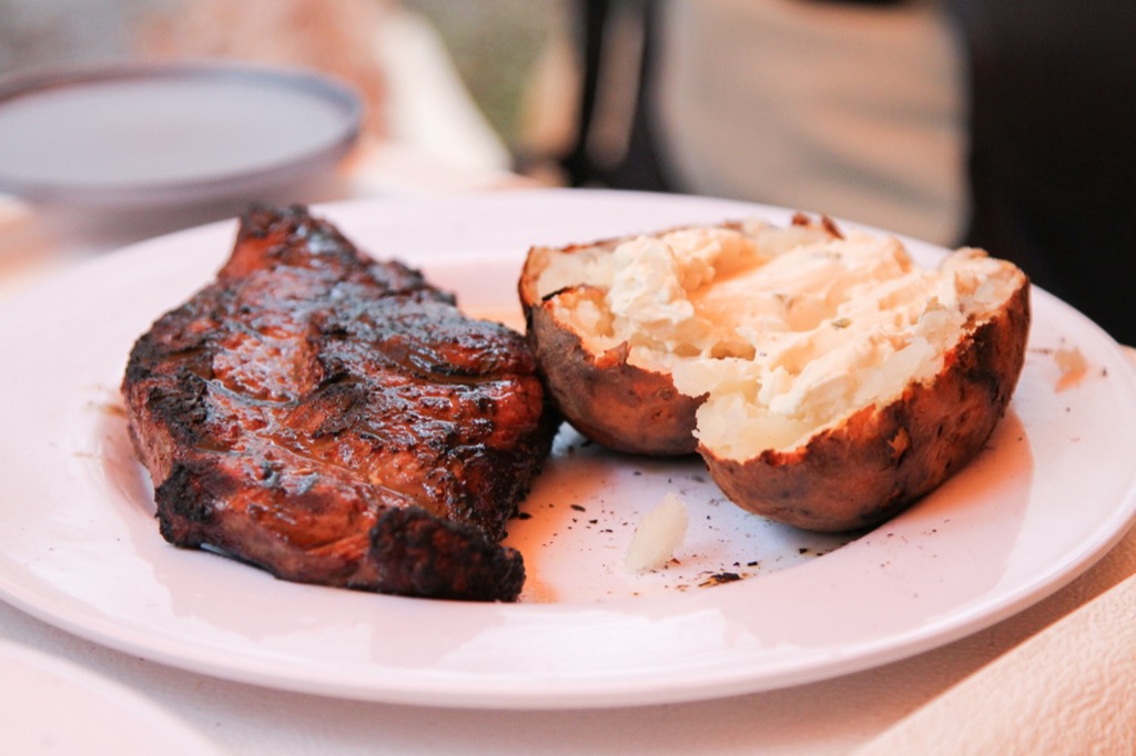
During a break in the rain, we got a fire going and cooked up some steak and baked potatoes.
This park was our favourite of the 4 that we have camped at so far. It had the most “things to do”, with hiking trails, swimming spots, fishing spots, and nice campsites. The campsites are pretty private for car camping, with lots of space between sites. The main washrooms/showers are run by generator, so if you are camping close to them, it can be loud. Luckily, they are closed and the generator is turned off from 10PM-8AM.
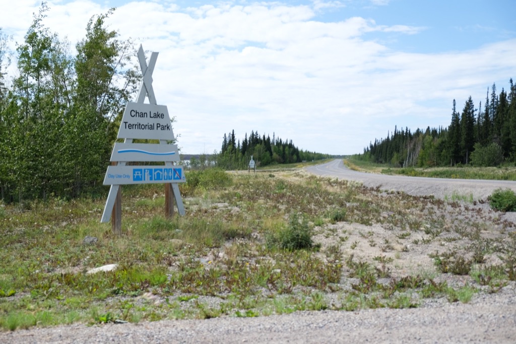
As we packed up on Monday (Rashaad’s birthday!), it was raining again, and again, and again. We figured waiting it out was not worth it and packed up a wet tent. It rained for most of the way towards the Mackenzie River, on and off, clouds looking threatening. We stopped for some quick geocaches and reached Fort Providence just before lunch. We drove around this town of ~700, after filling up the gas tank. We then headed down the road to Chan Lake Territorial Park for lunch. Again, this was another picnic spot, not so much a day-use area. It is on a lake and we suppose you could canoe or kayak it, but it was so smelly that I don’t think anyone would want to! Soon enough we were back on the road back to Yellowknife, stopping for a few more geocaches around the north arm of Great Slave Lake and enjoying the views.
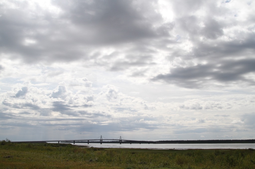
Approaching the Deh Cho Bridge on the way home.
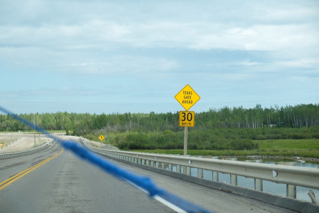
The Texas gate that separates the bison herds.
If the bison try to cross the bridge, this will stop them. TB-carrying bison on one side and non-TB-carrying bison on the other. We aren't sure if they can just cross the river when it's frozen though...
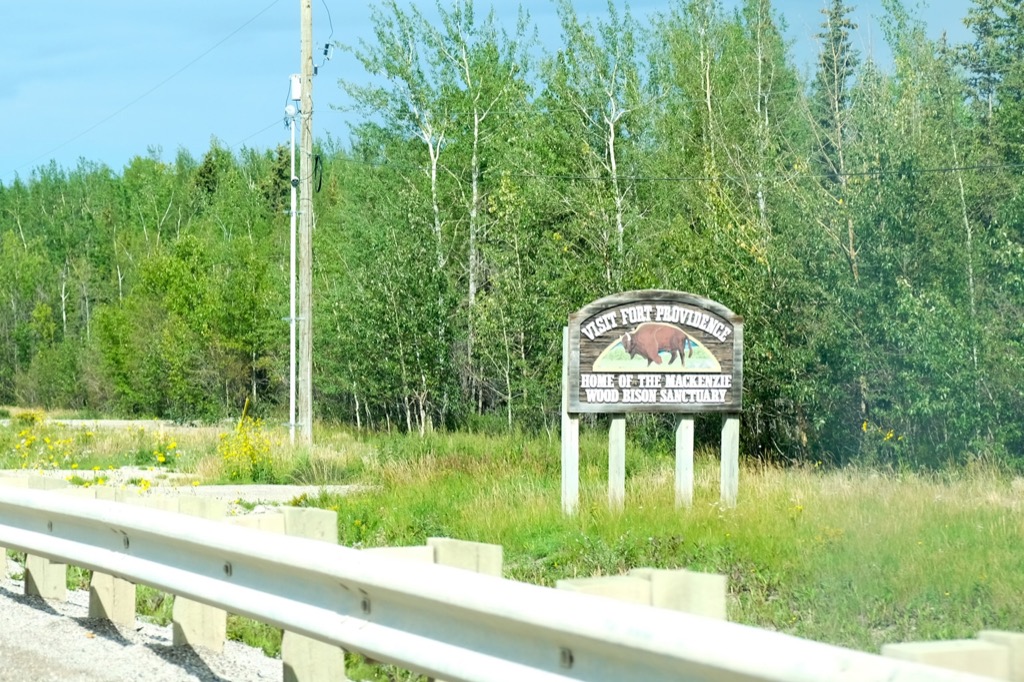
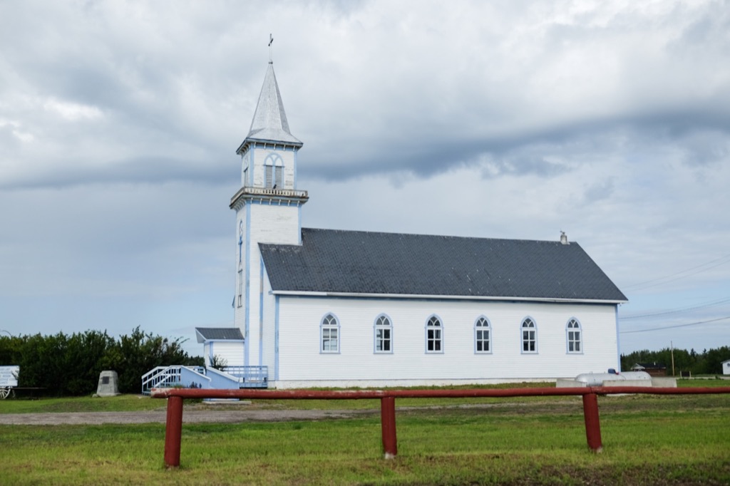
The only real landmark in Fort Providence.
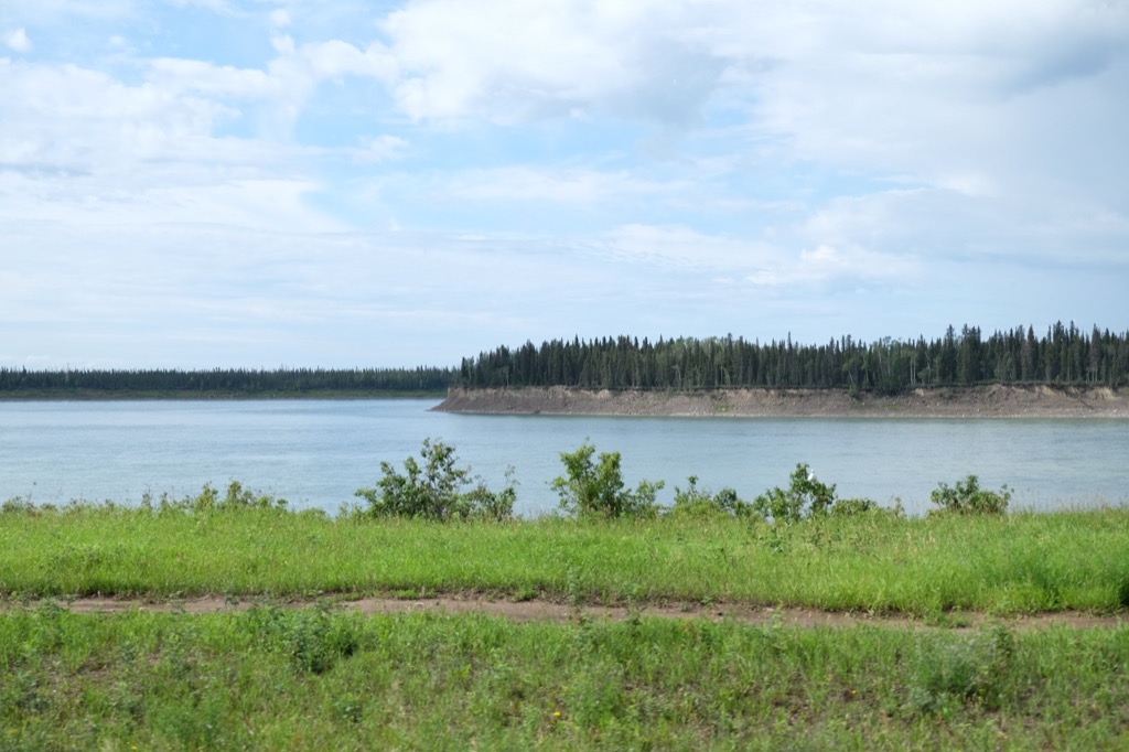
There are some great river views though.
Lots of erosion on the island in the river.
We stopped for lunch at Chan Lake Territorial Park on the way home.
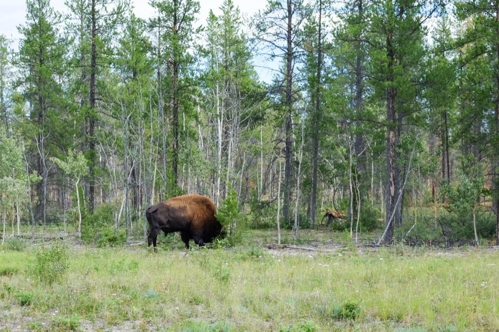
One of a few bison we saw. He was really munching away on that tree.
The rocks look smaller than they are in reality.
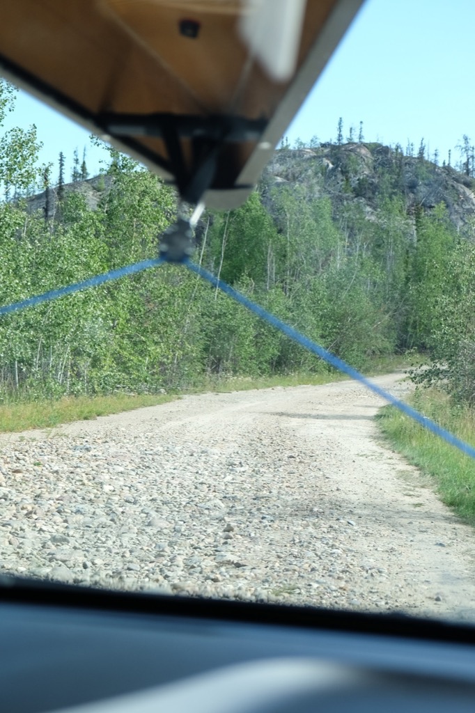
Across from North Arm Territorial Park, there is a small, slightly rugged road that leads up to the communications tower. If you have an SUV or no respect for your suspension, it's worth the drive to the top.
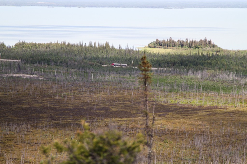
Fuel tanker probably heading to Yellowknife.
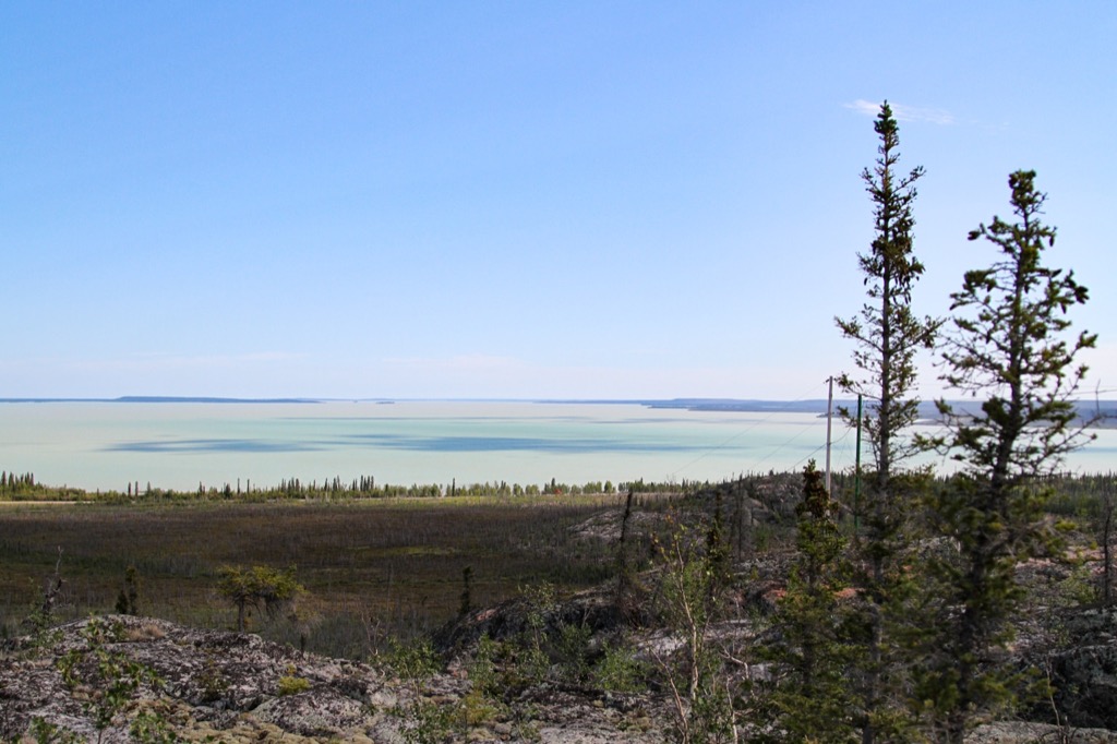
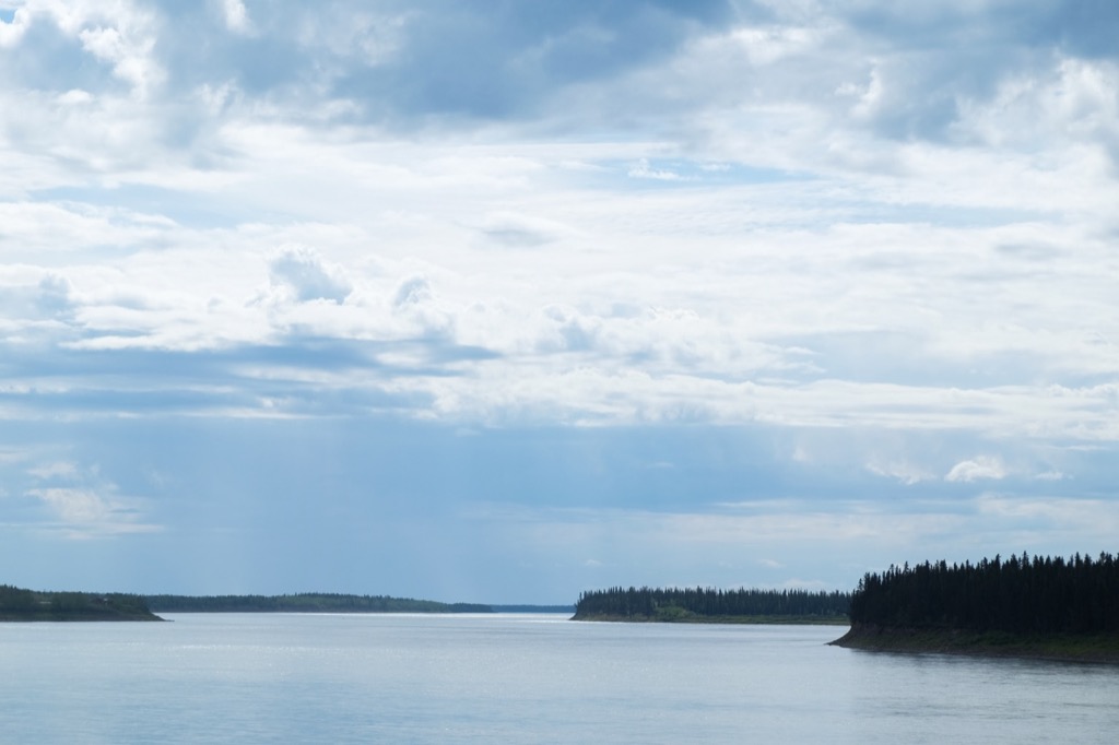
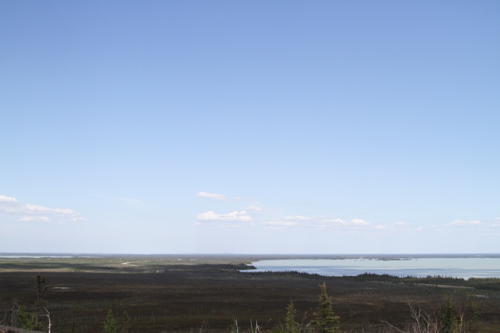
Great Slave Lake.
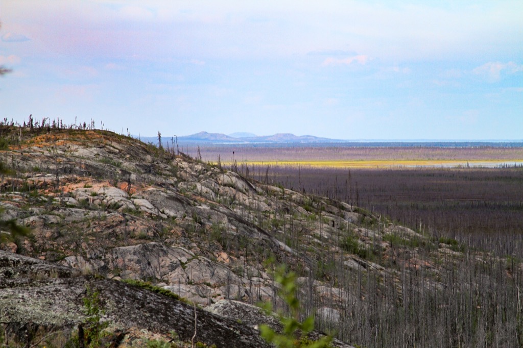
Flat with a smattering of mountain.
We rolled back into Yellowknife with our dirt-covered car around 5PM, with 1200kms added to the odometer. It was a wonderful weekend exploring an area we had never been to/drove by twice, but never stopped. We saw a total of 7 waterfalls and were not disappointed with any of them. They were all so different and interesting. We think this trip is definitely worth it, if you have the time and don’t mind driving. There were some disappointing aspects of the parks, but exploring and being outside in this beautiful territory makes you overlook them. The range of weather we had didn’t matter either, we had a great long weekend together, celebrating Rashaad’s birthday!
Wildlife sightings: 4 bison, many a sandhill crane, magpies, squirrels…
